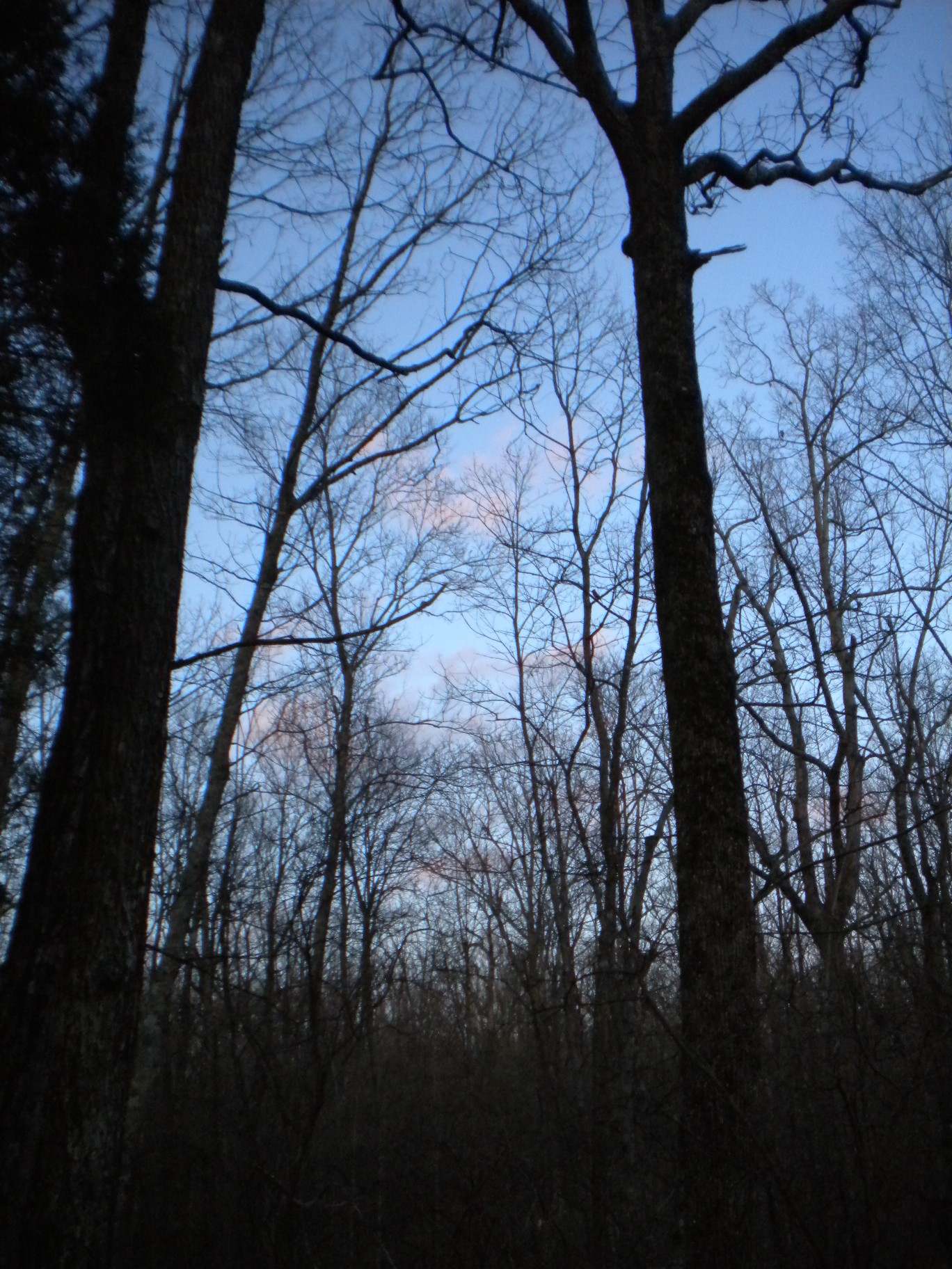
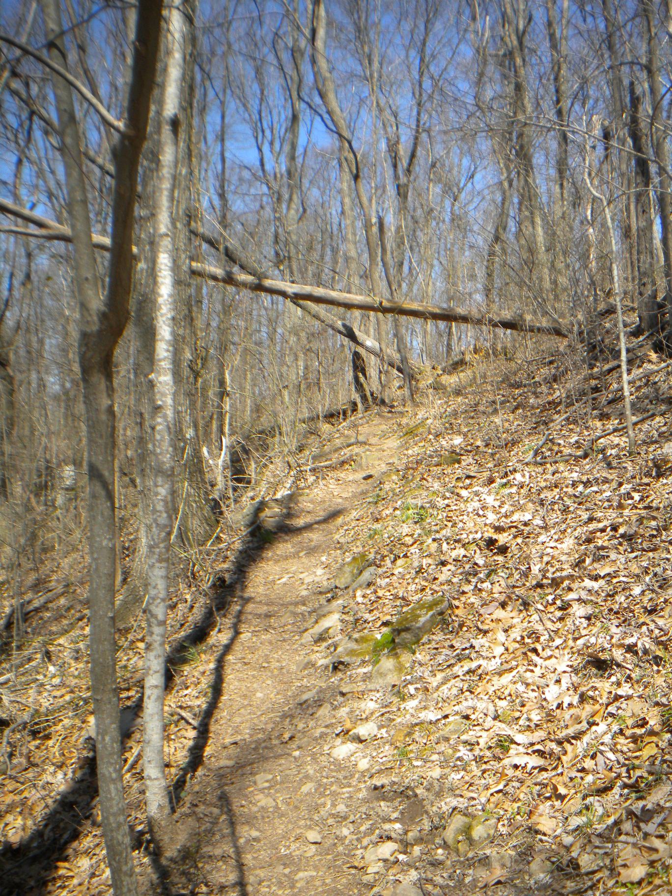
With my workouts finally resuming since last Thanksgiving, I used a business trip to Huntsville to finally venture into Monte Sano State Park. Monte Sano is literally right at the edge of downtown! Full of trails (14 miles to be exact) and lovely cool weather, trail running and some rock climbing are on the agenda.
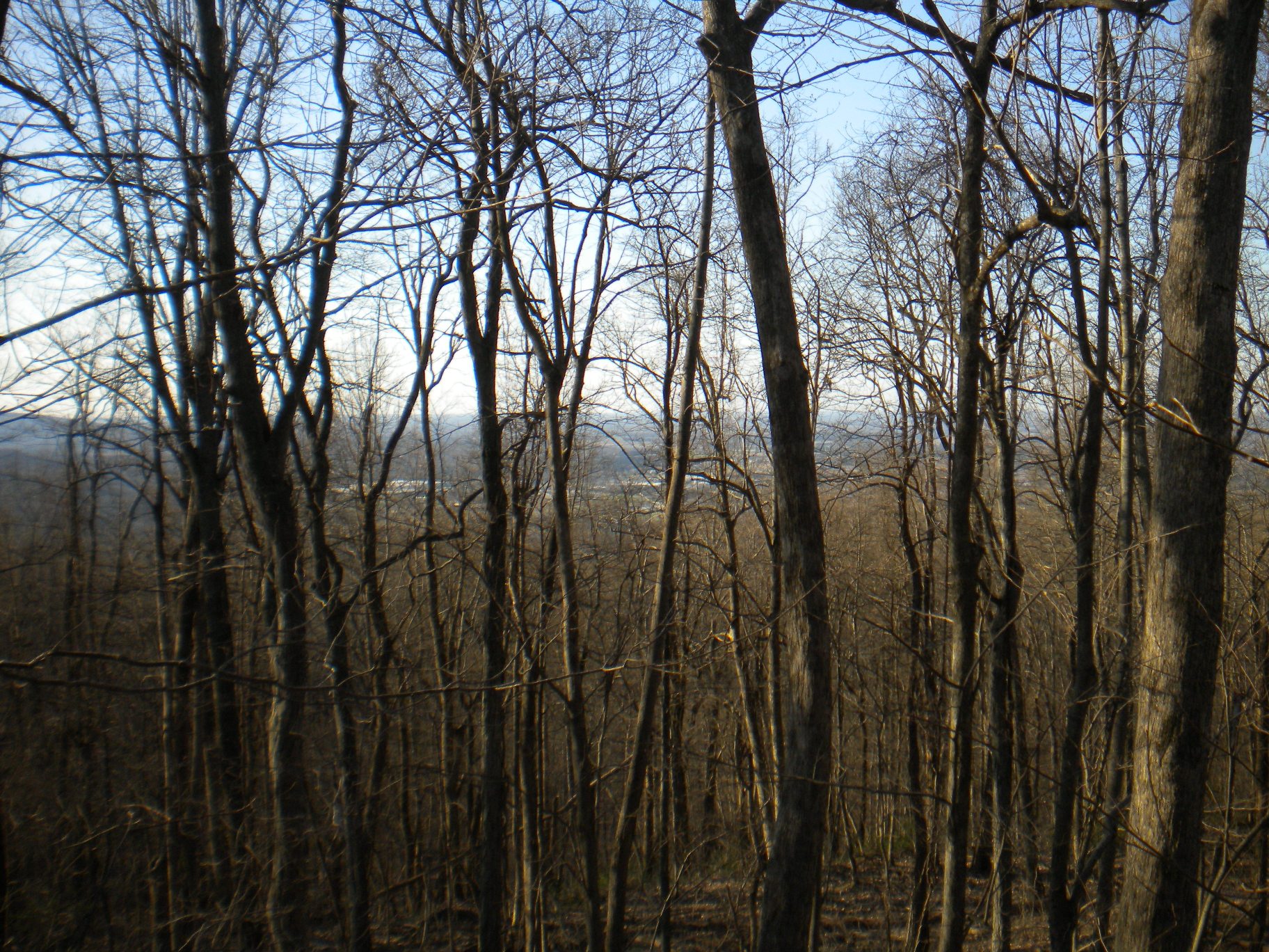
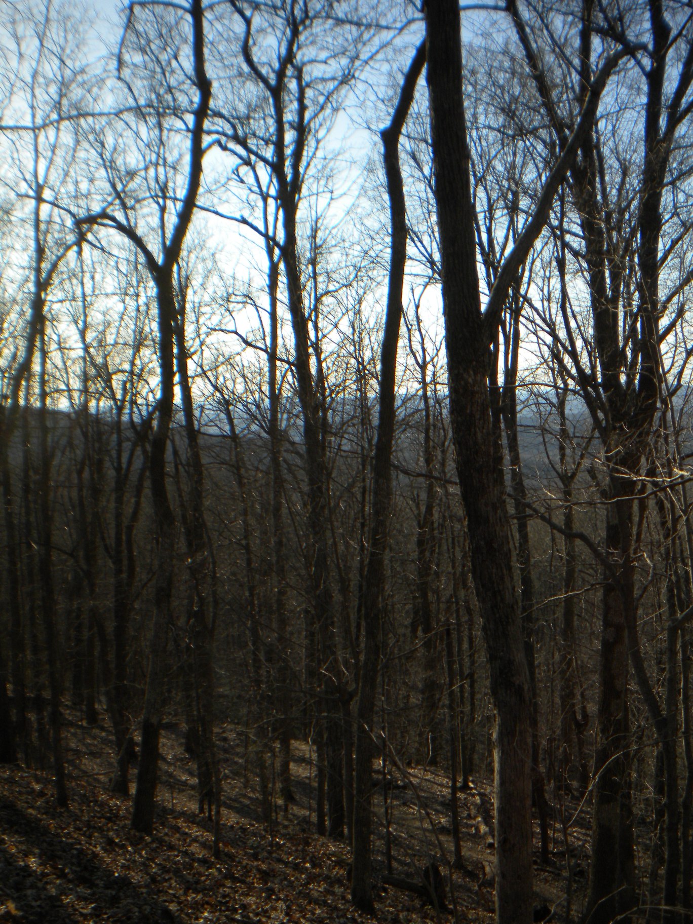
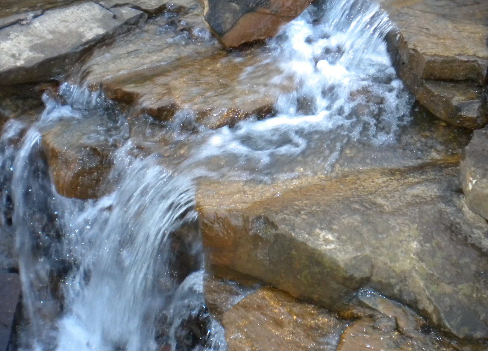
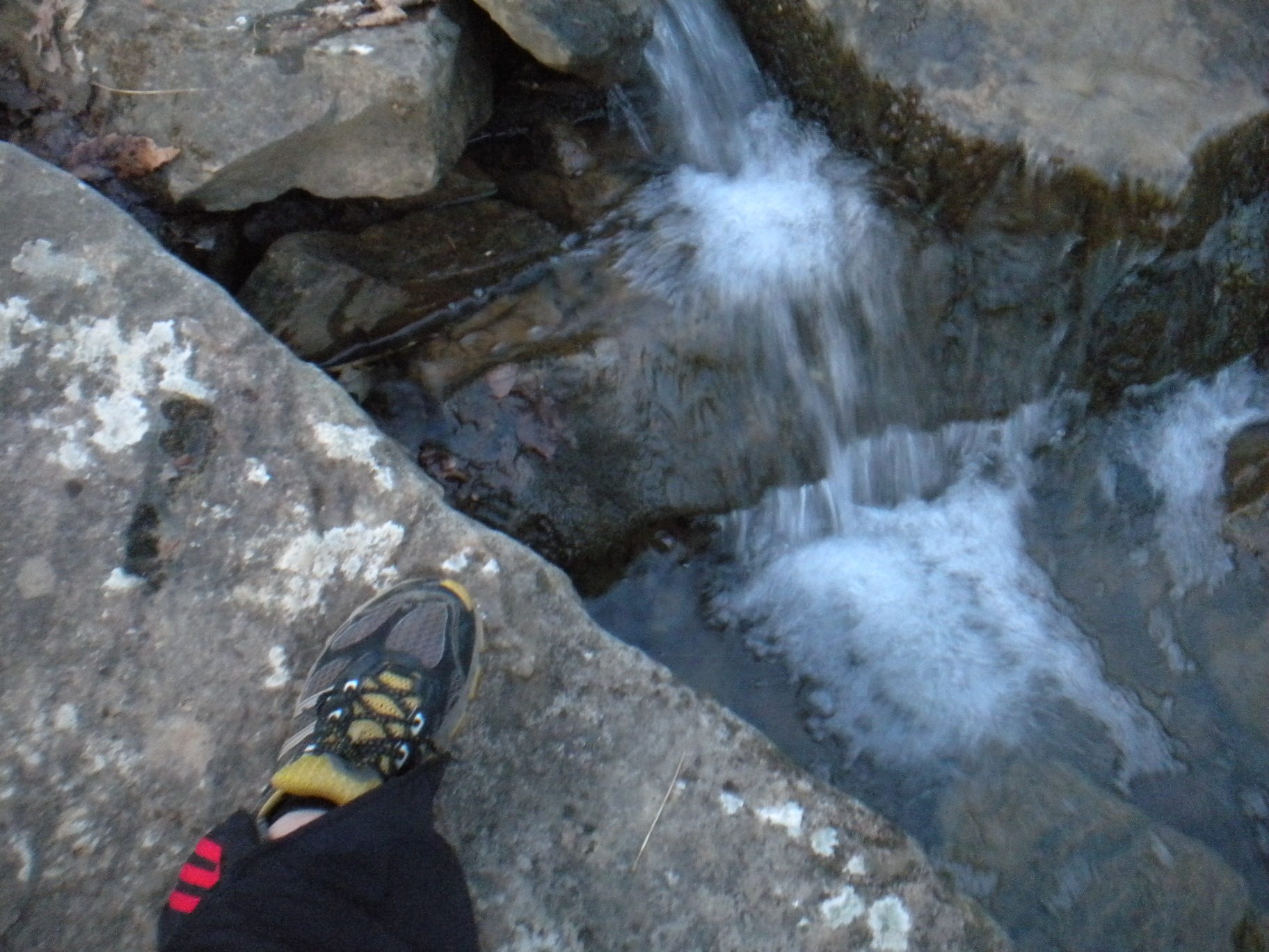
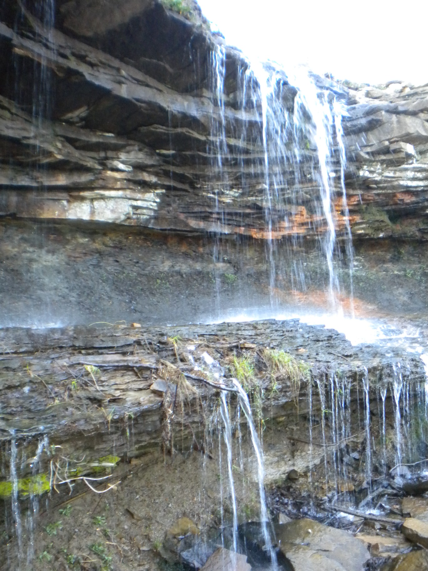
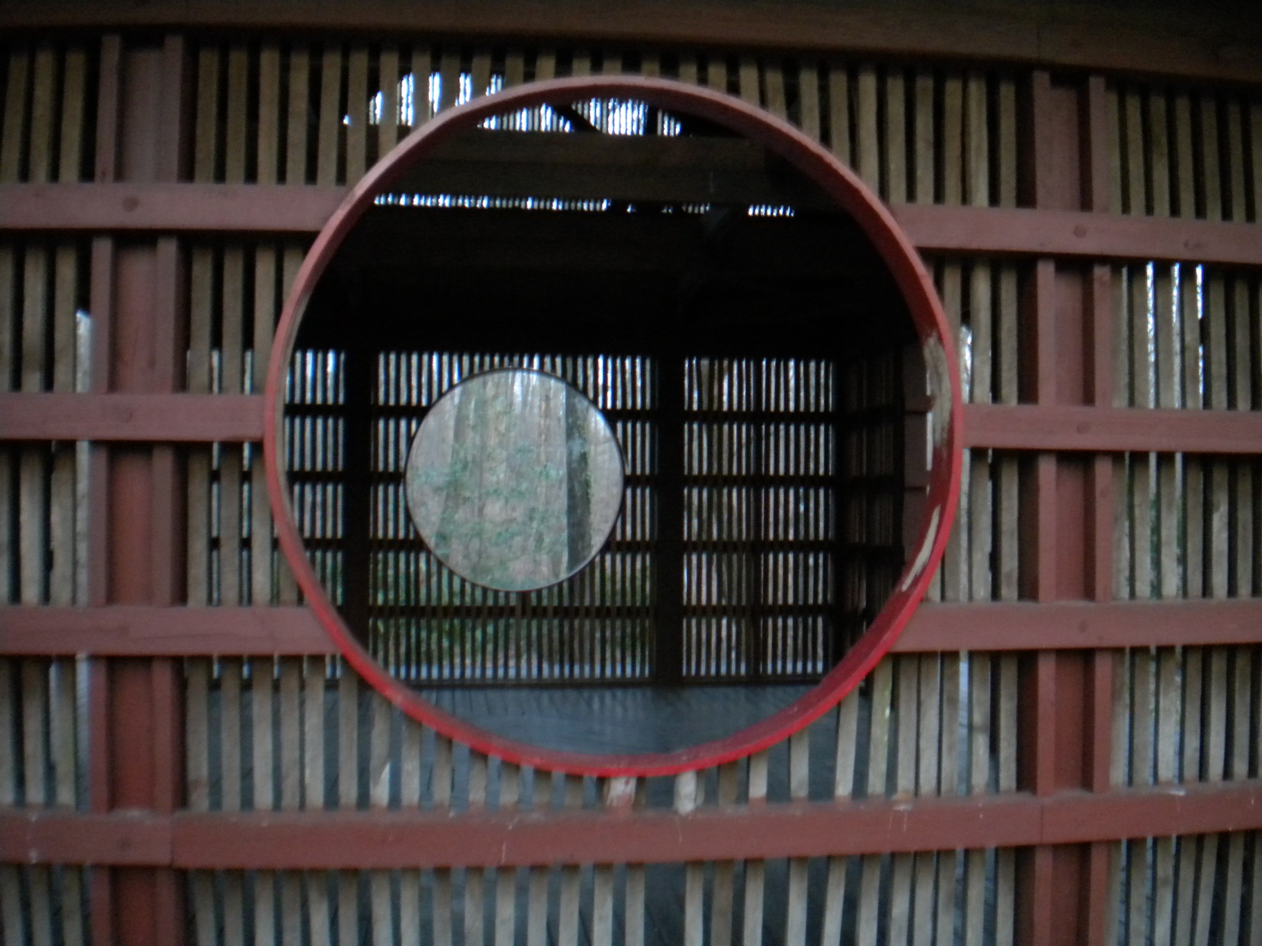
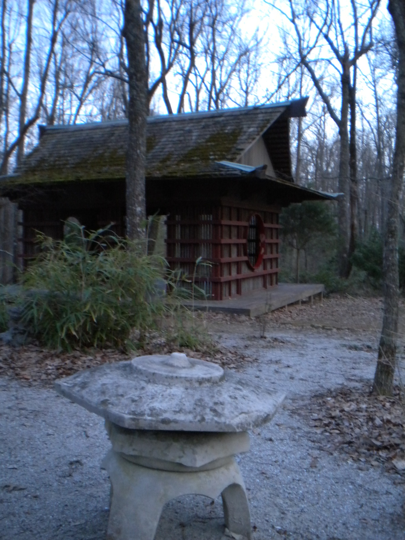
The first day I ran the Northern Plateau Trail which hit many of the park's more common sites including the waterfall under the Lodge, the Japanese Garden, and the Scenic Overlook.
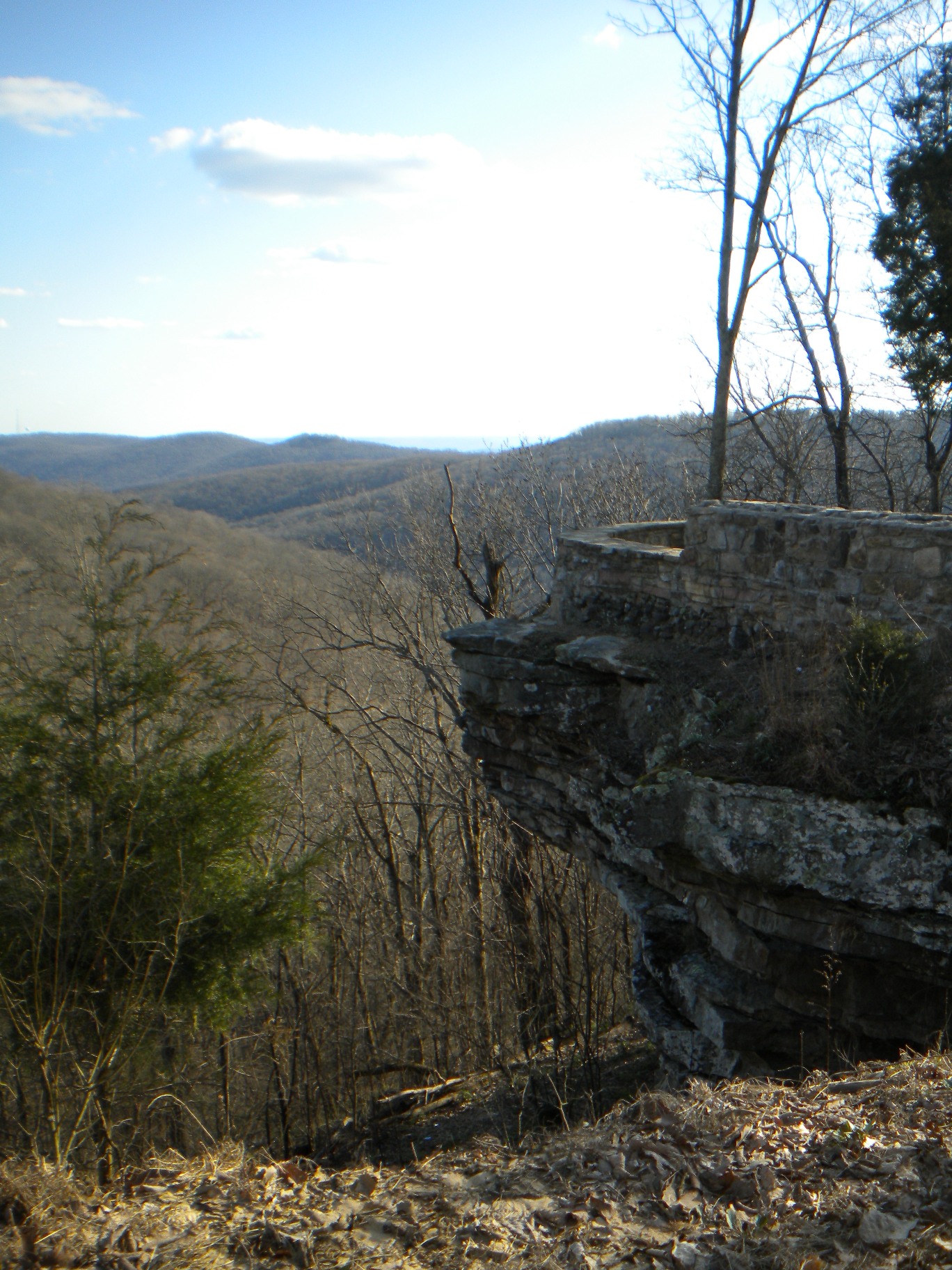
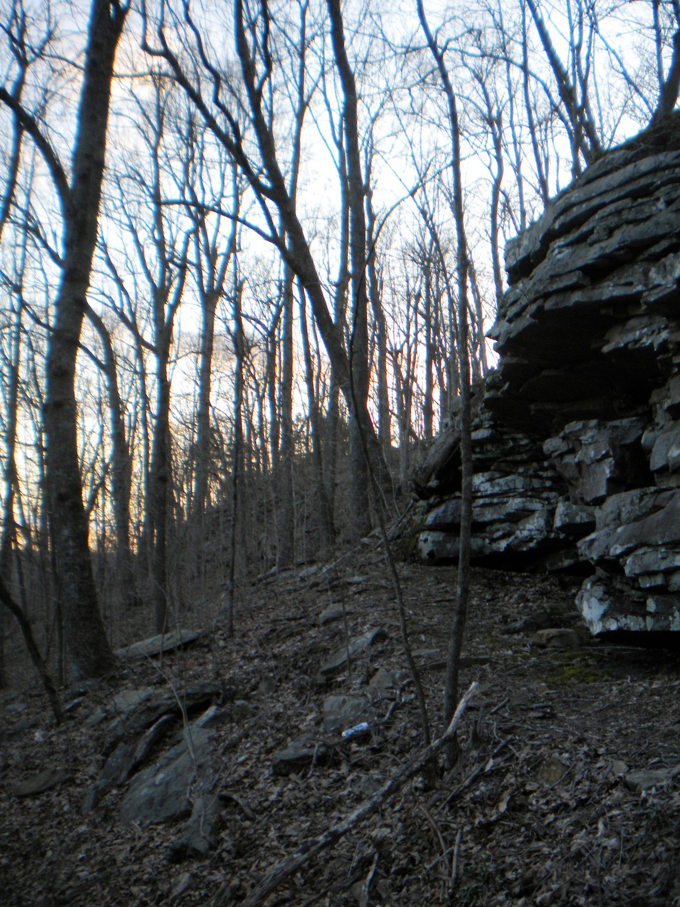
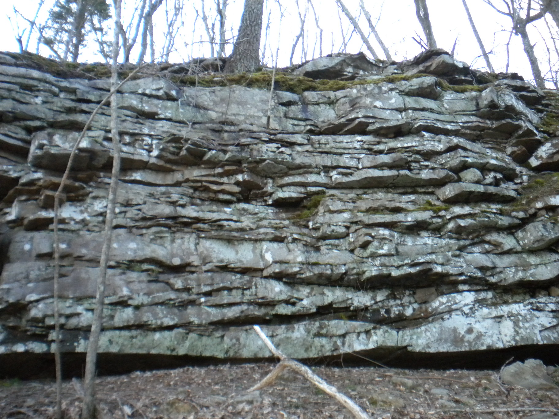
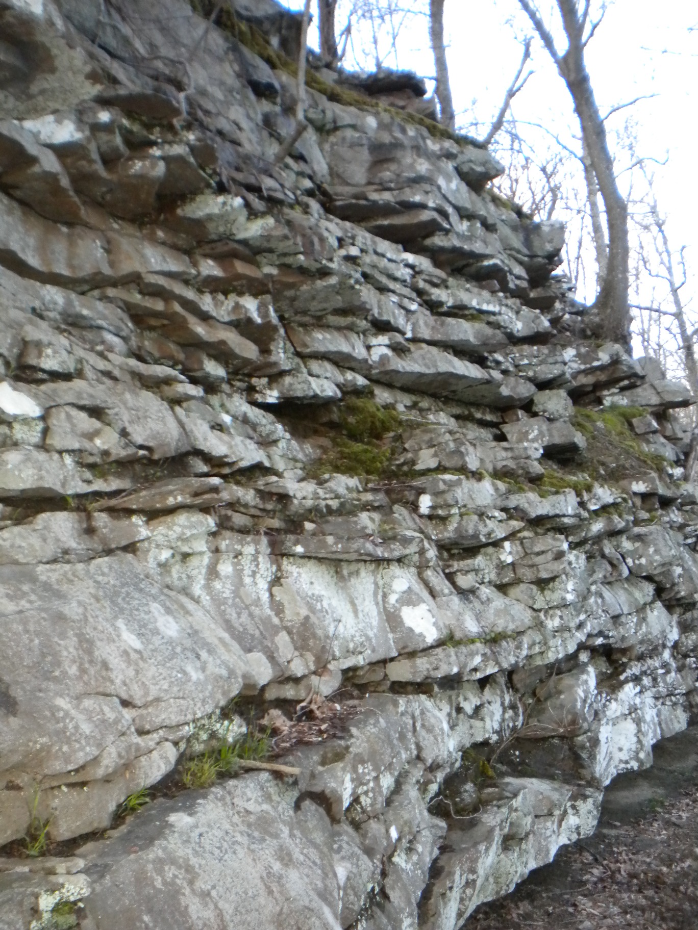
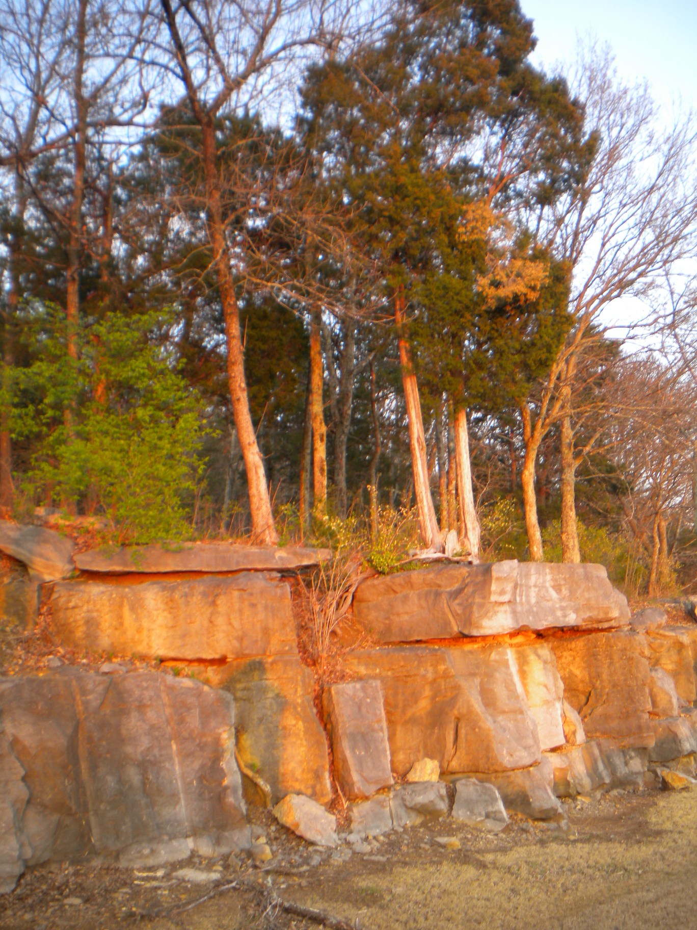
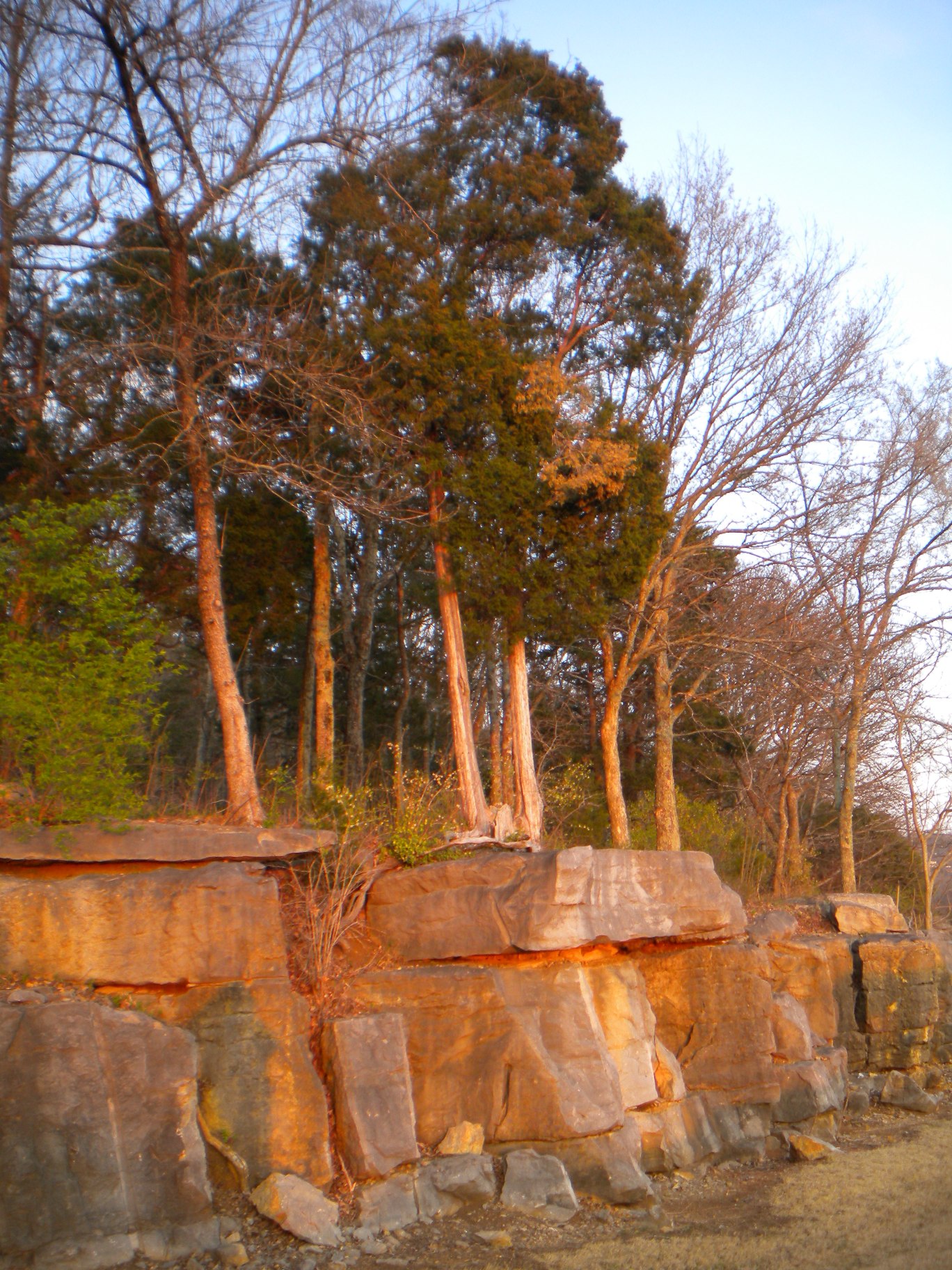
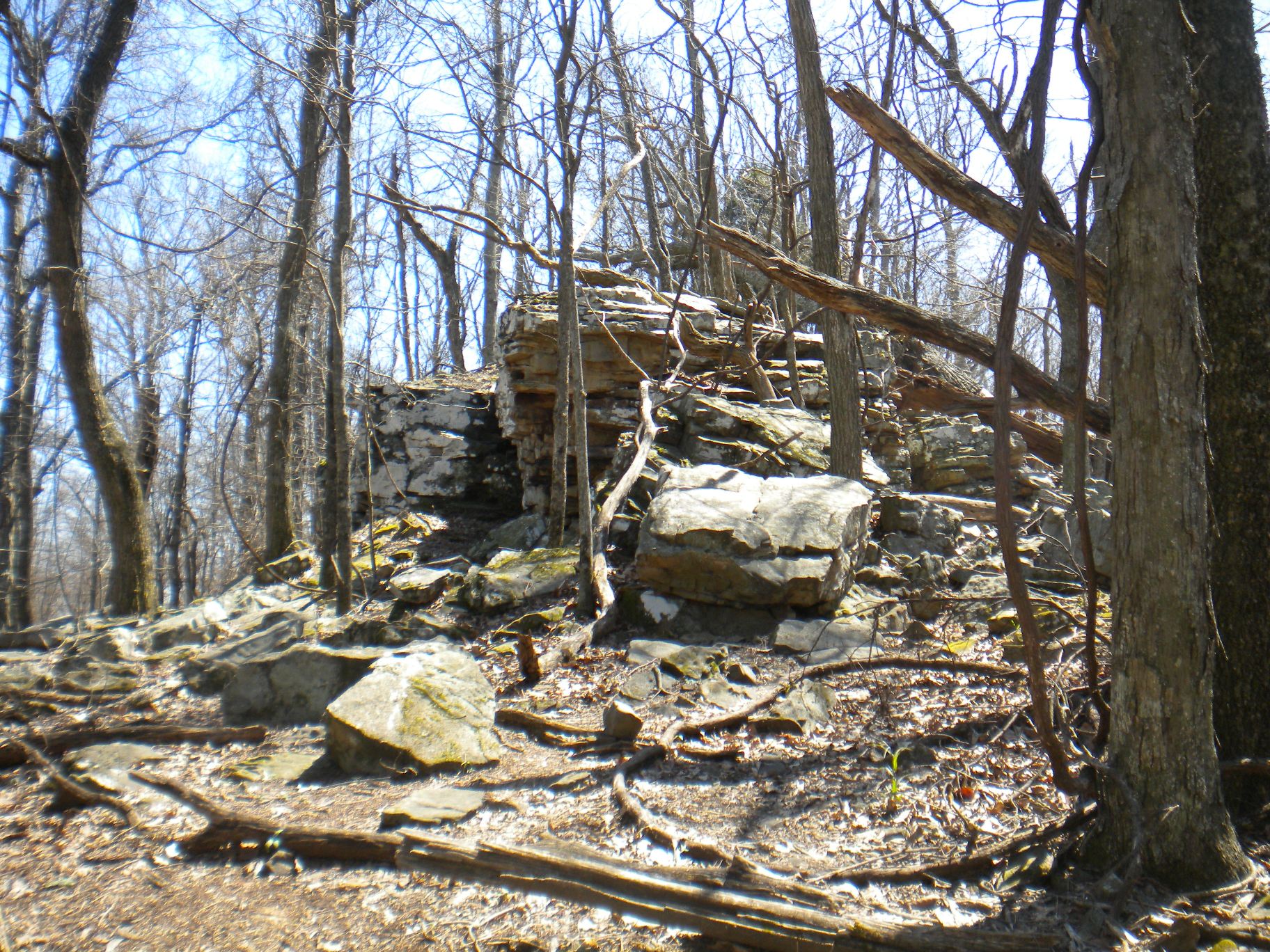
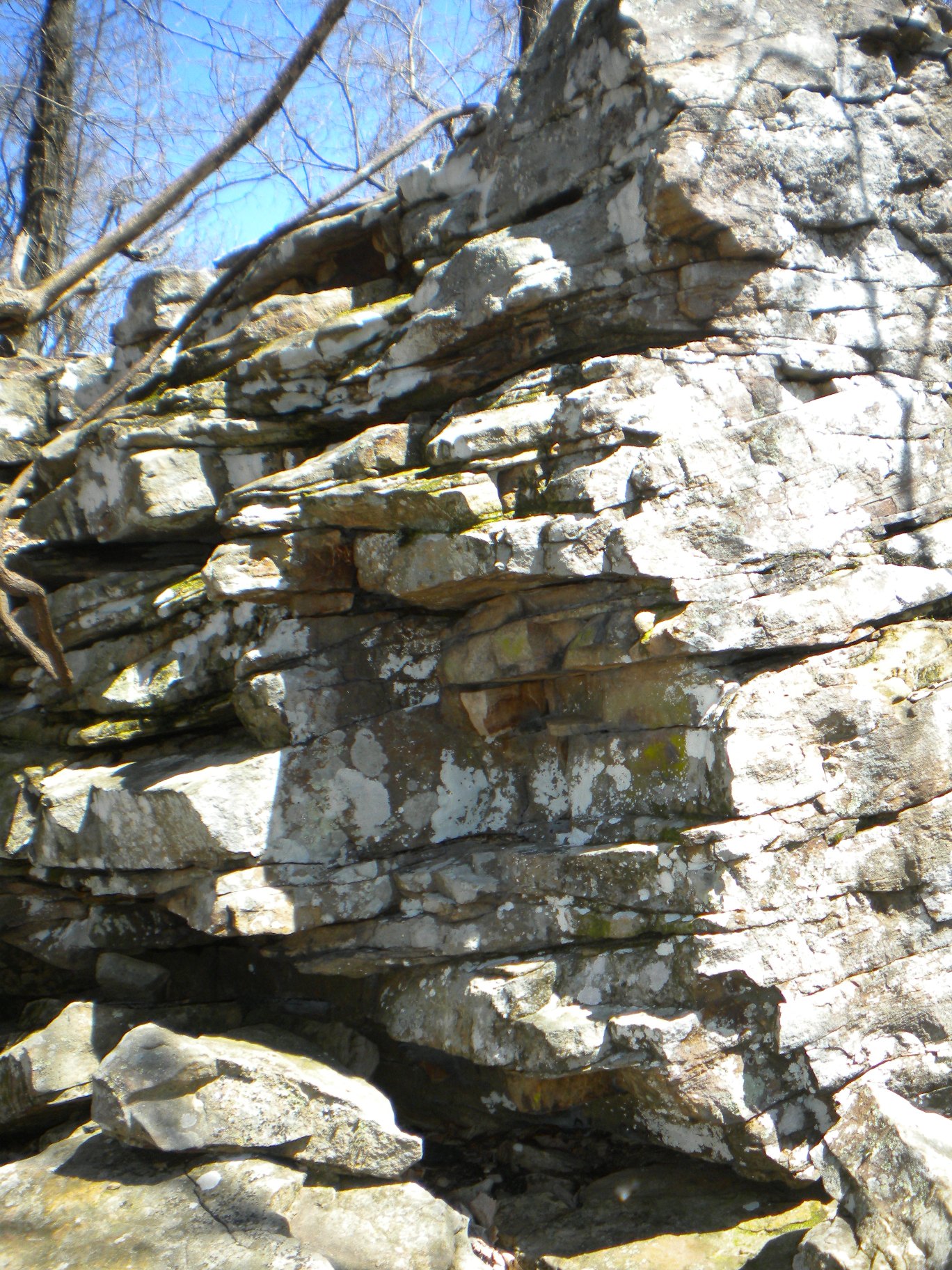
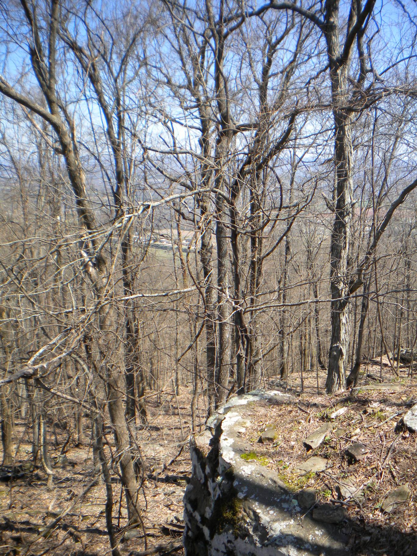
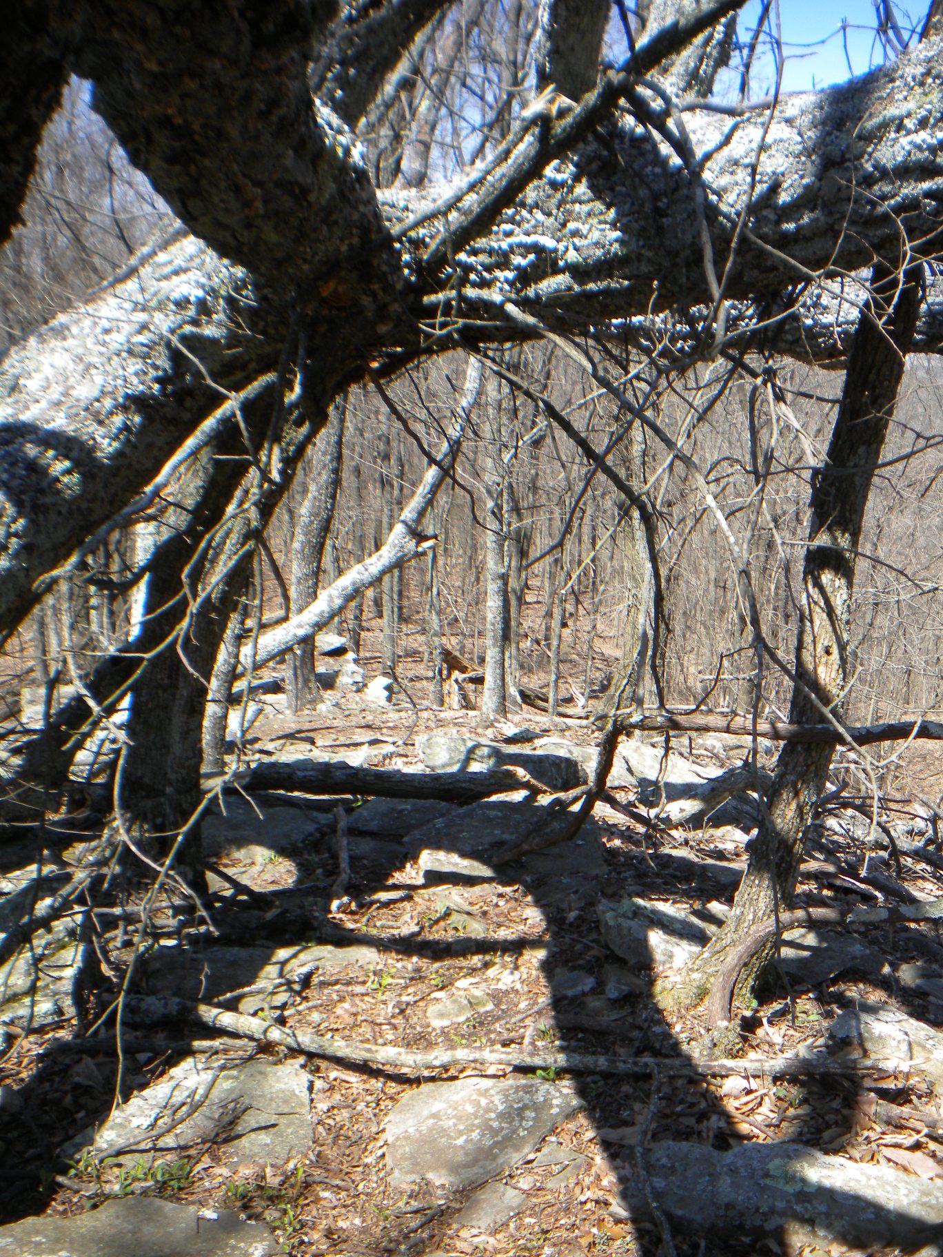
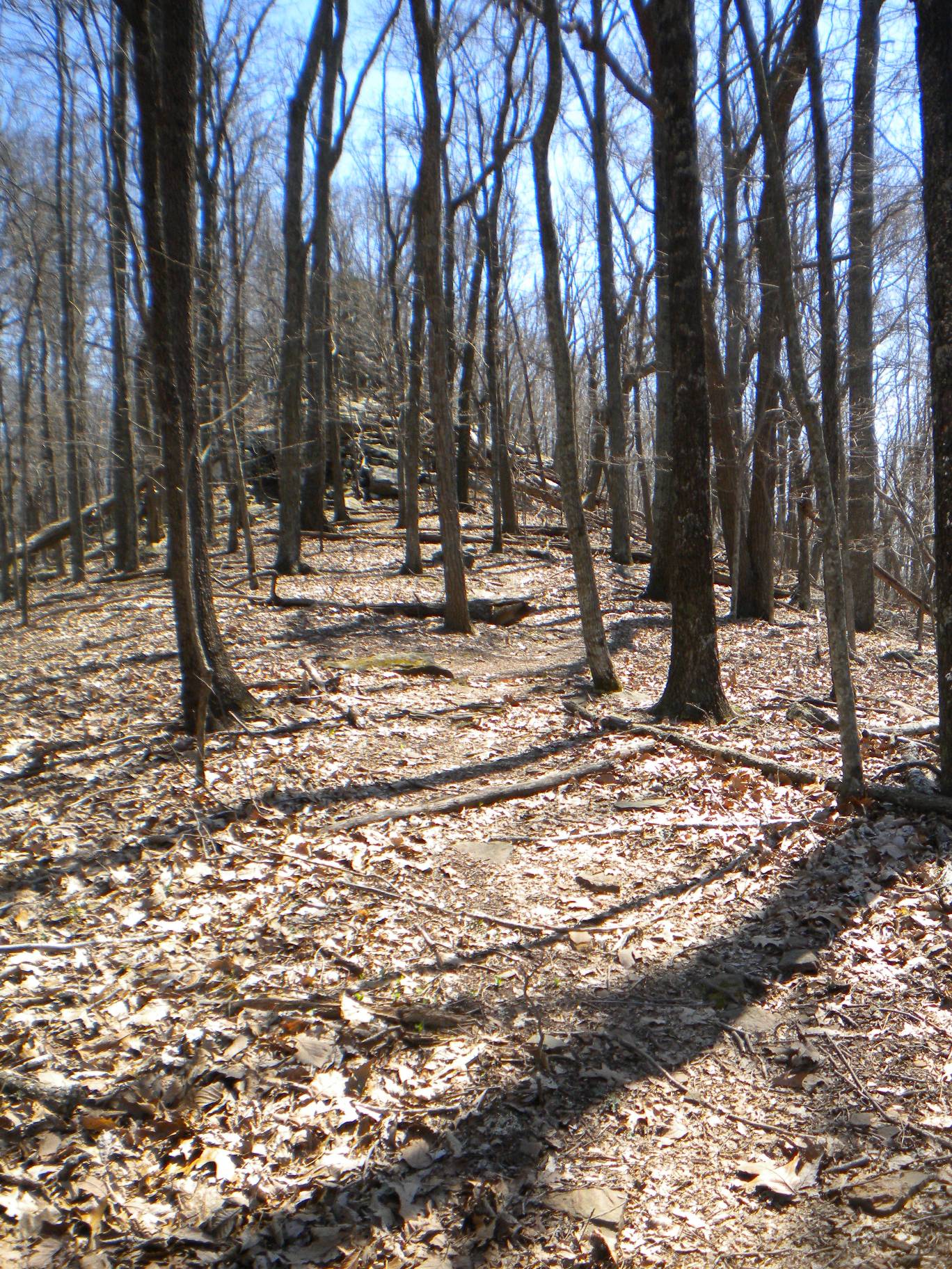
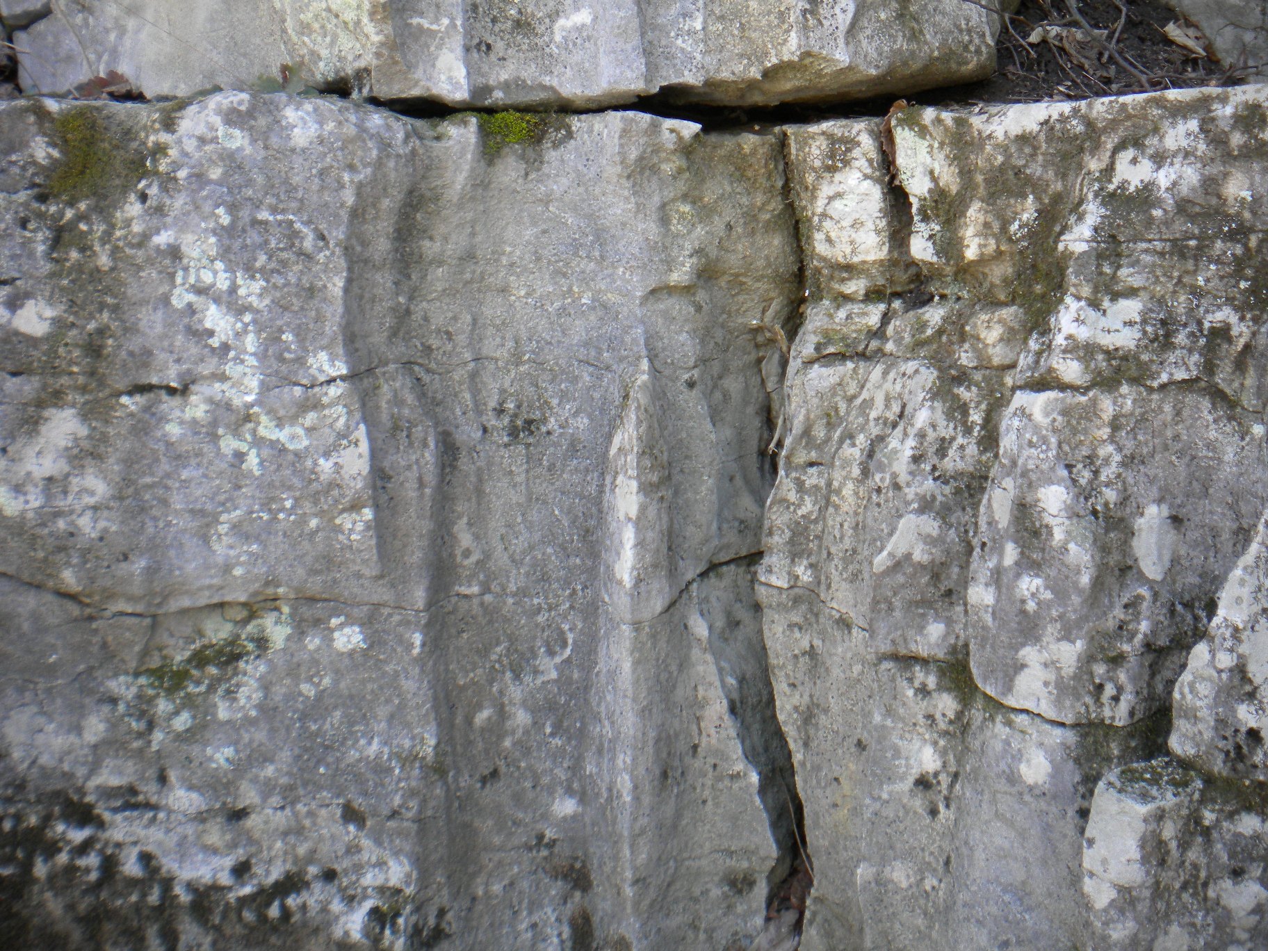
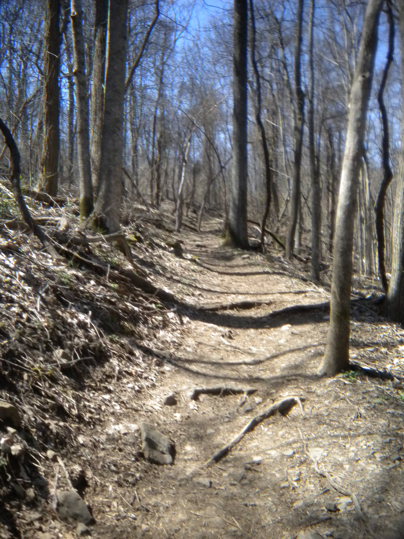
When I went back in (just as the sun was starting to set), I realized the ledge runs along most of the first part of the trail and if you get off the trail you can follow it and even do a little rock climbing! Not anything very technical, as you can see... although it did cross my mind how bad it would suck if I fell!
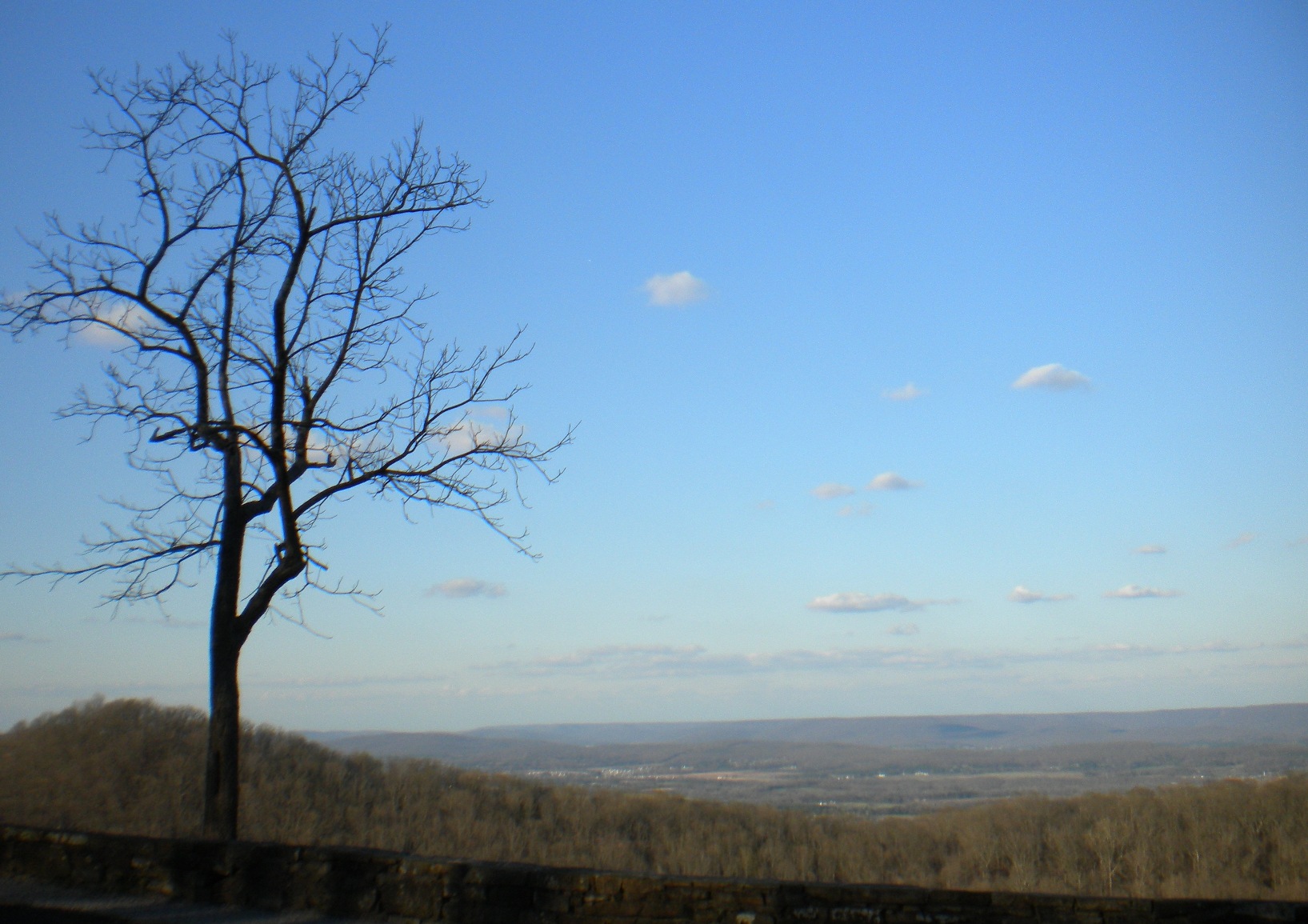
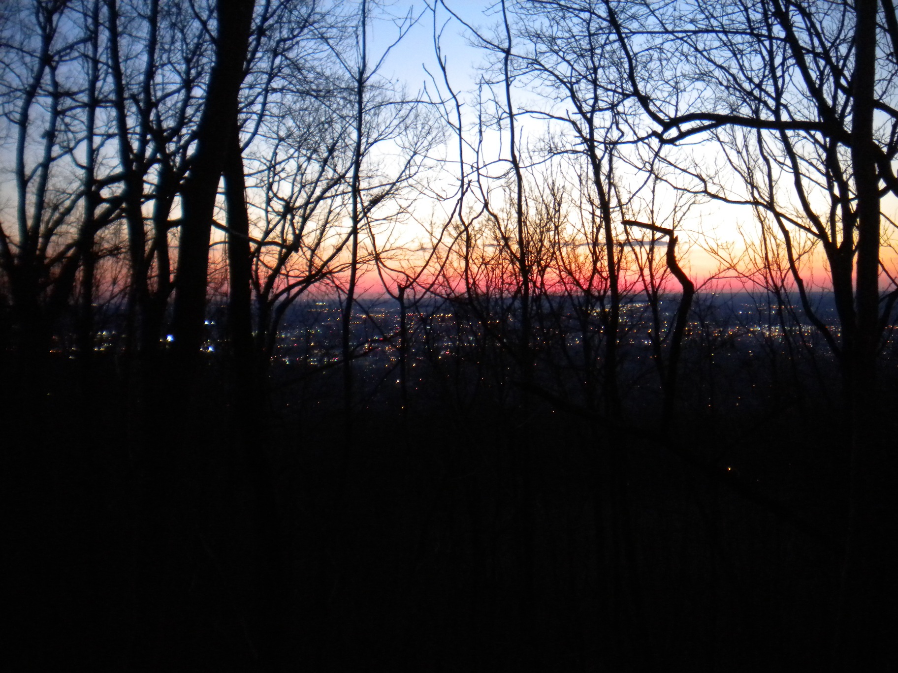
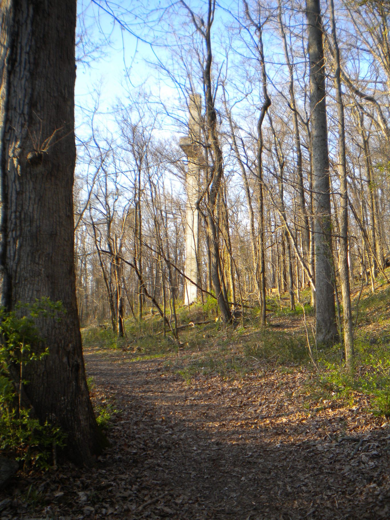
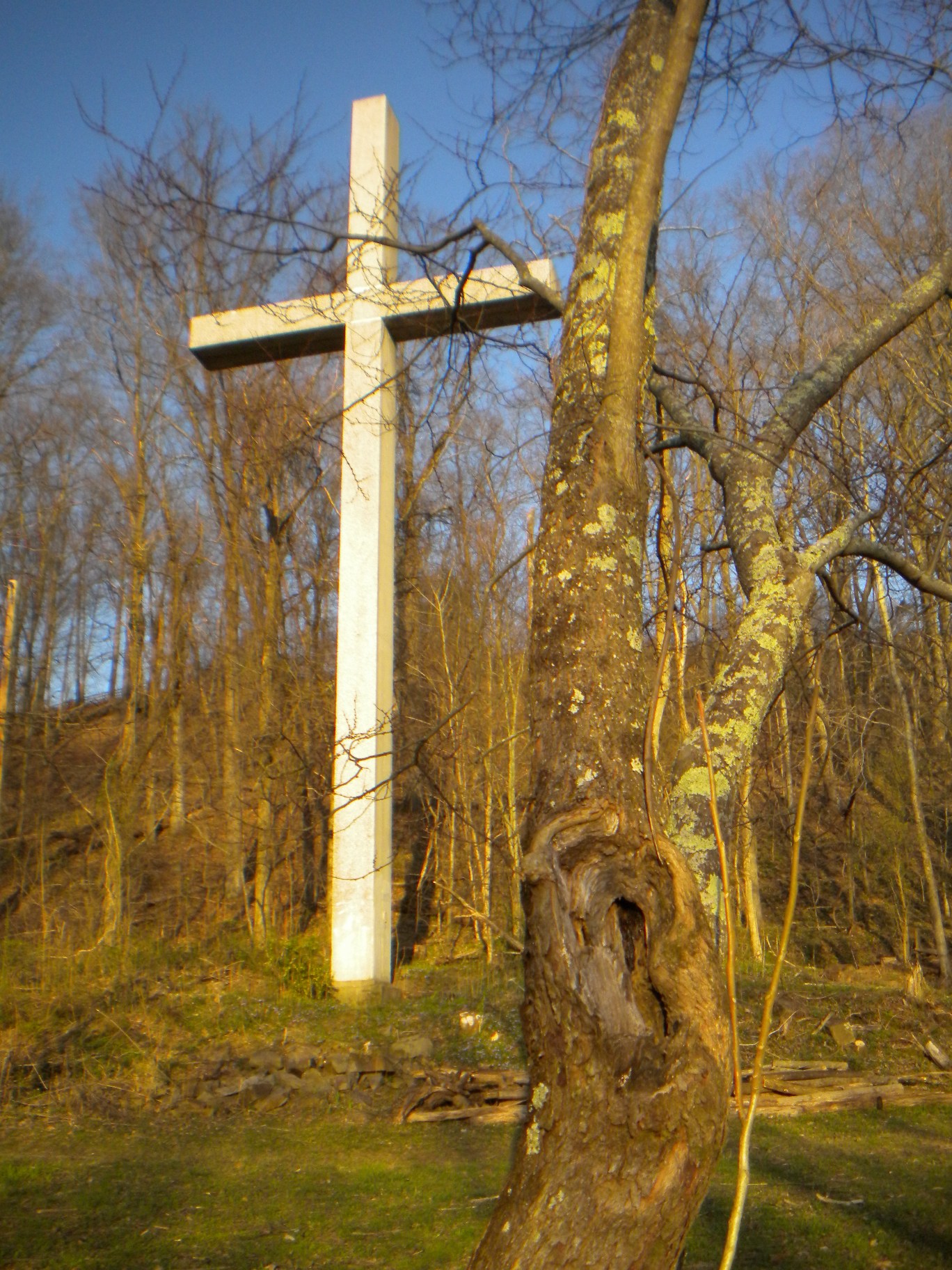
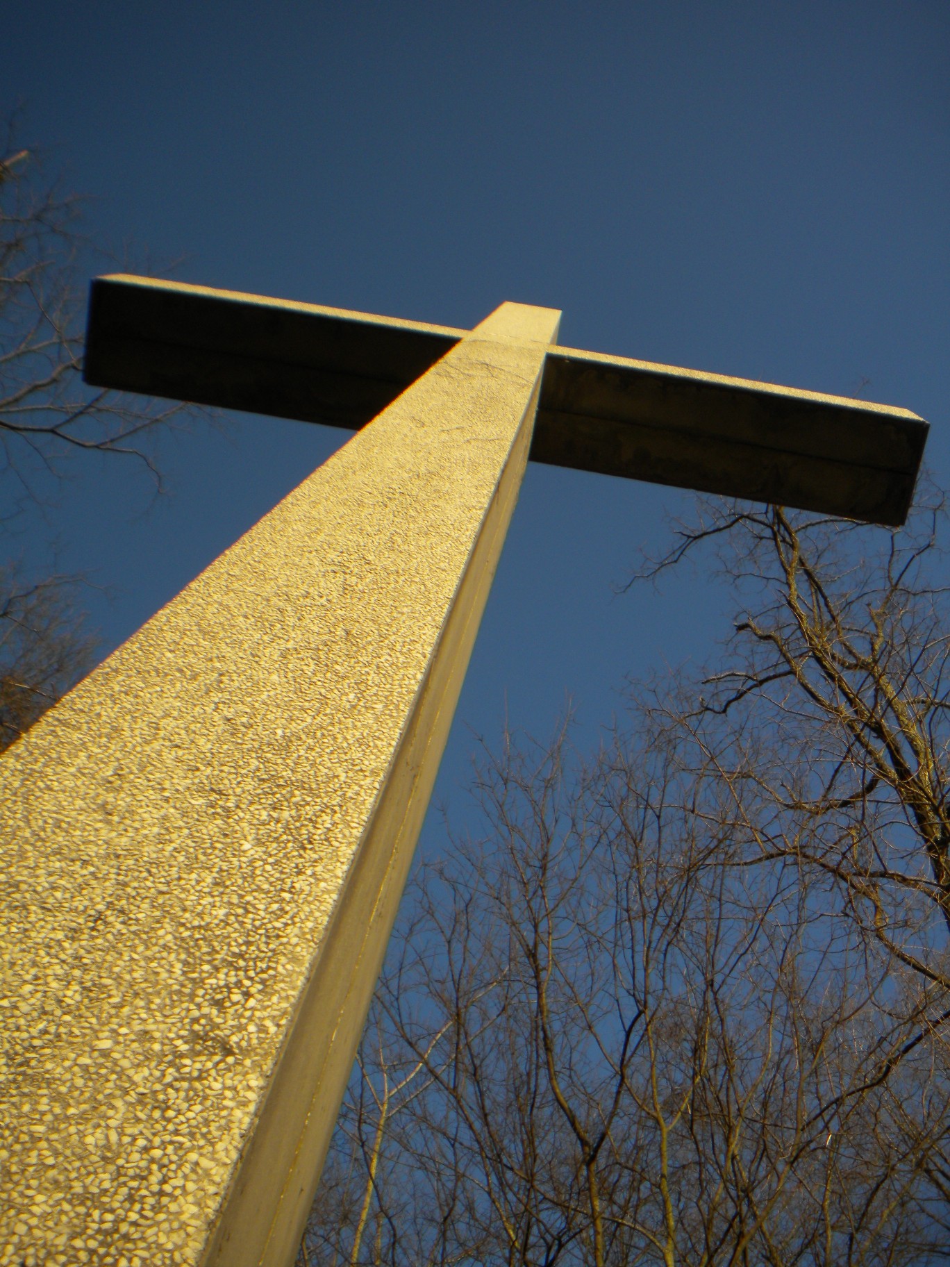
The next day after my meeting I did not have much time and quite honestly was a tad more sore than I would like to admit! So, I decided to go to the south end of the park and investigate the massive cross on the side of the mountain that can be seen from practically anywhere in town. I had no map this time for that section and was not really sure where to go. I picked a The Discovery Trail (that oddly enough said it would take much longer than I thought it should and was a bit worried) that seemed to head in the direction I believed the cross to be. I did actually end up coming out on a different trail though. Of course, had the Burritt Museum been open I could have taken those steps right down to the cross, but what fun would have that been... I also stopped at the scenic overlook on Governer's Drive on the way home.
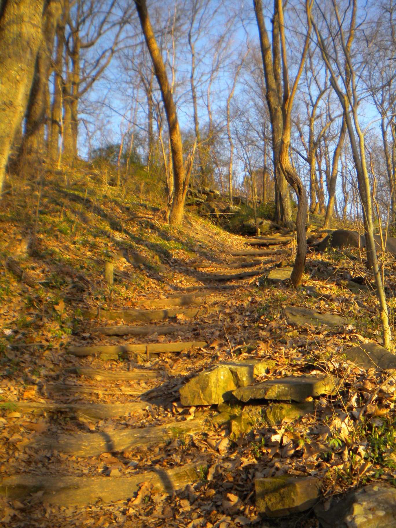
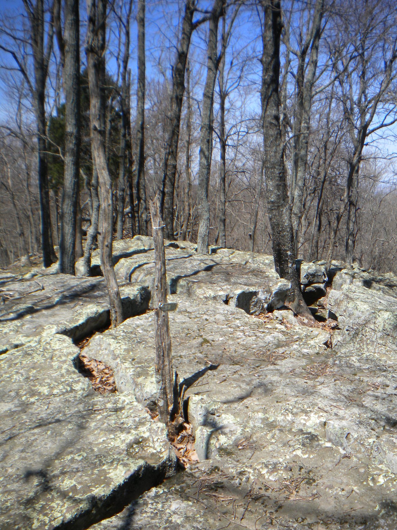
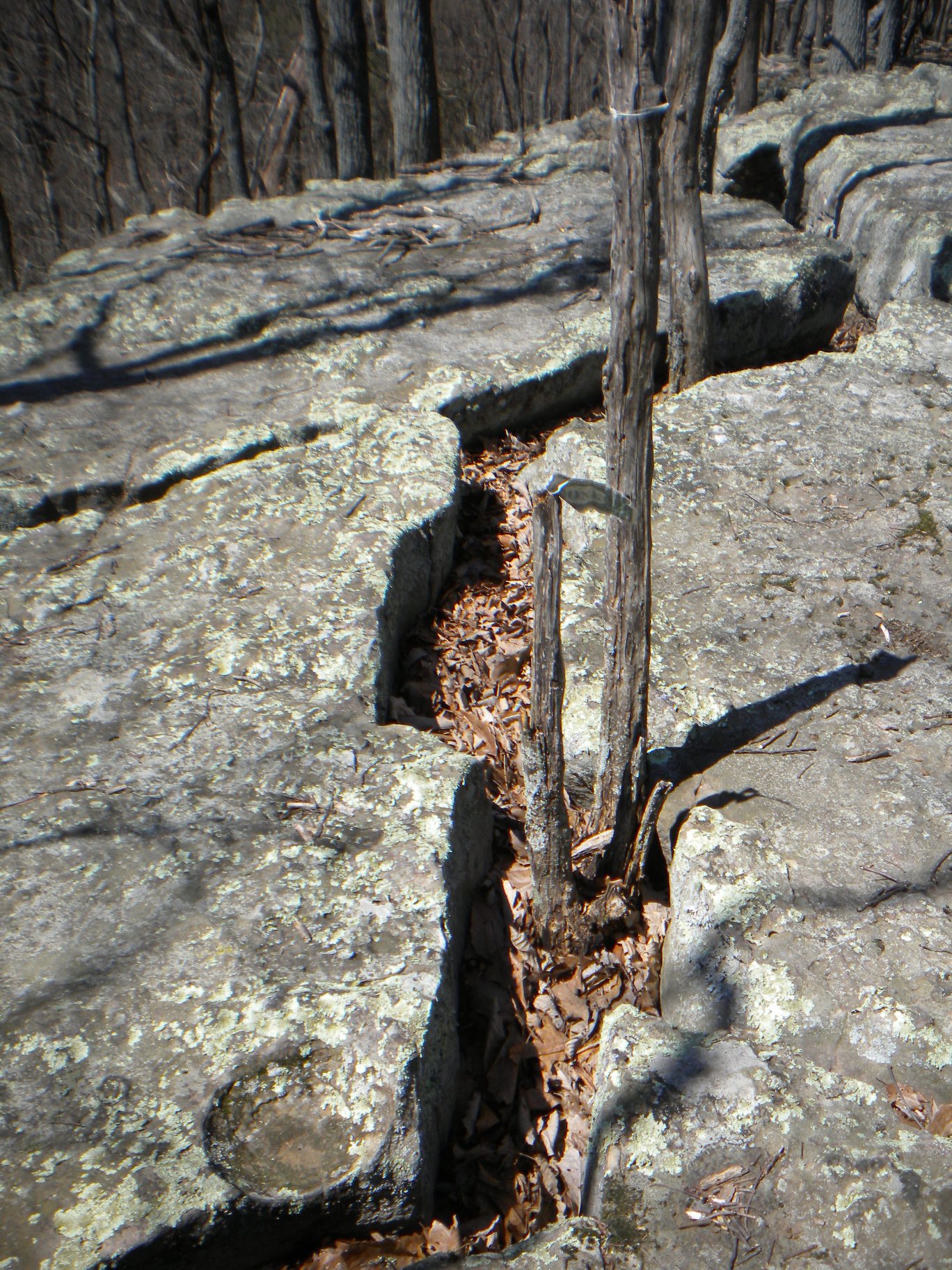
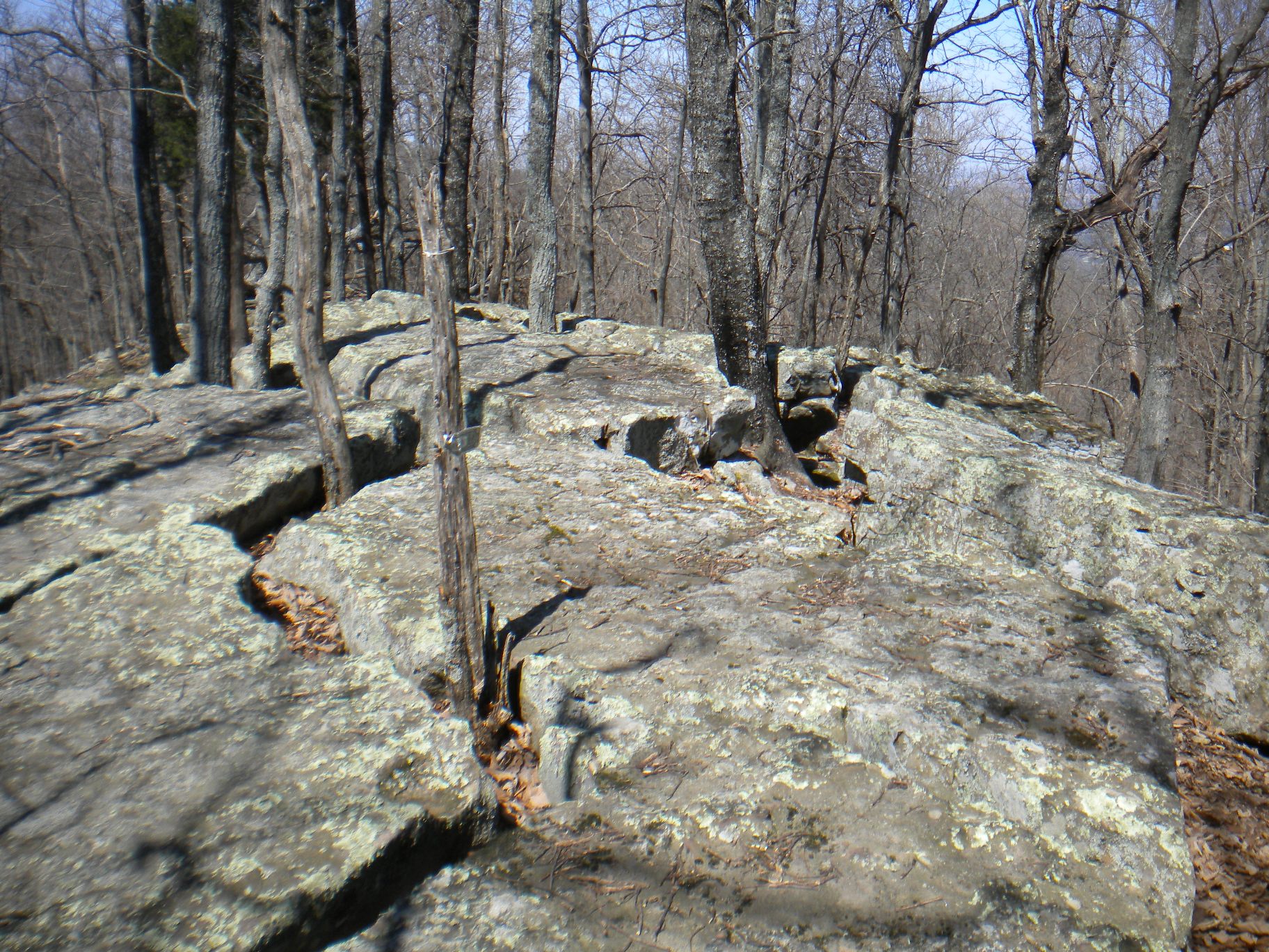
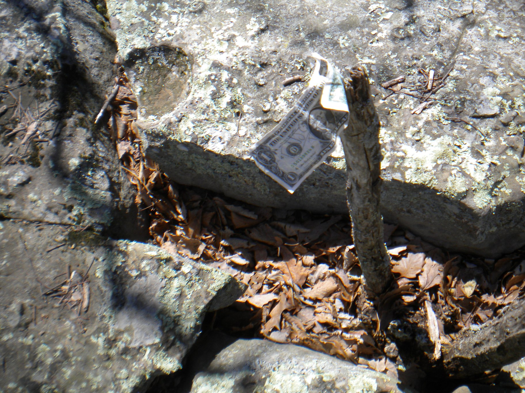
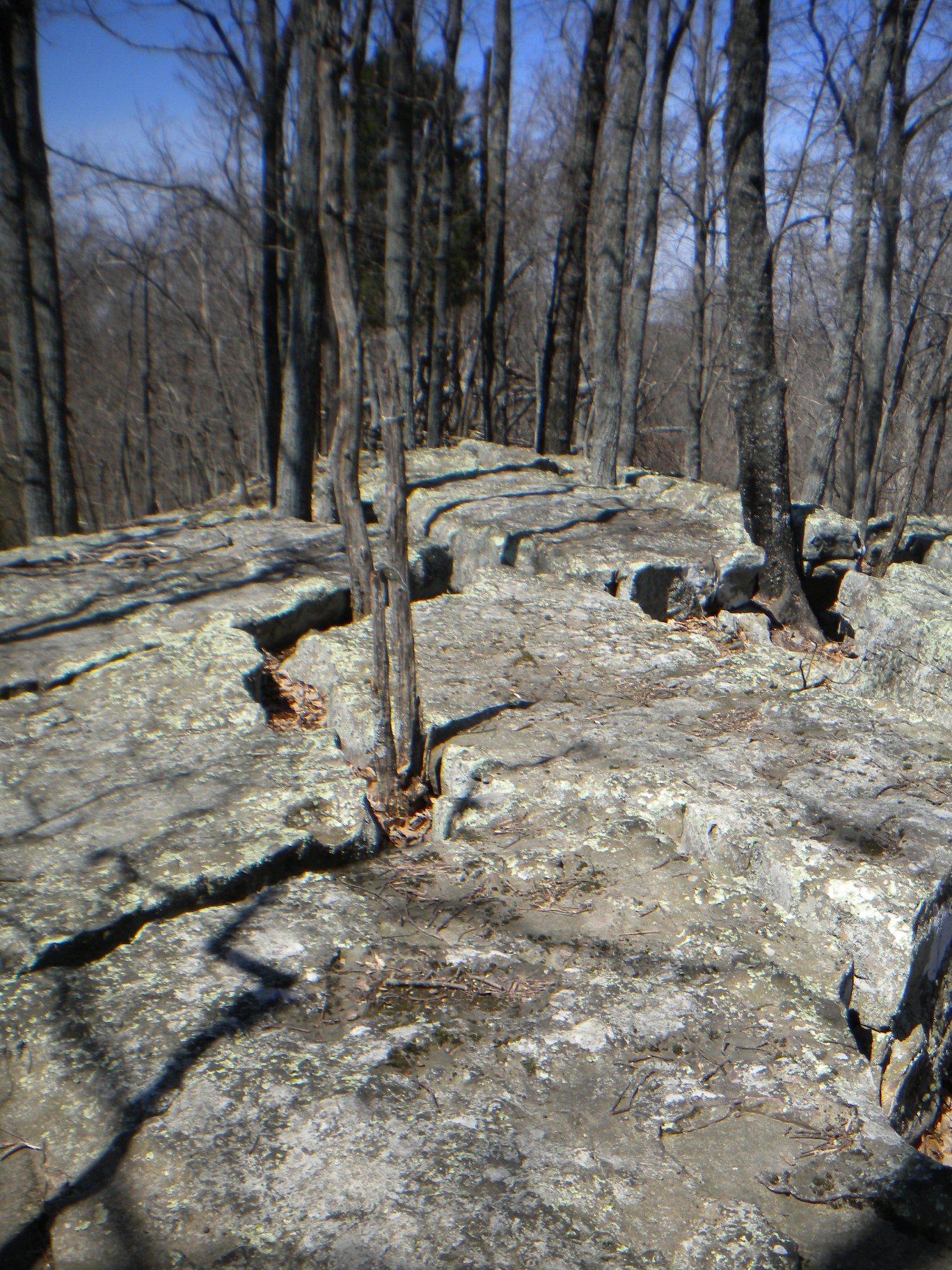
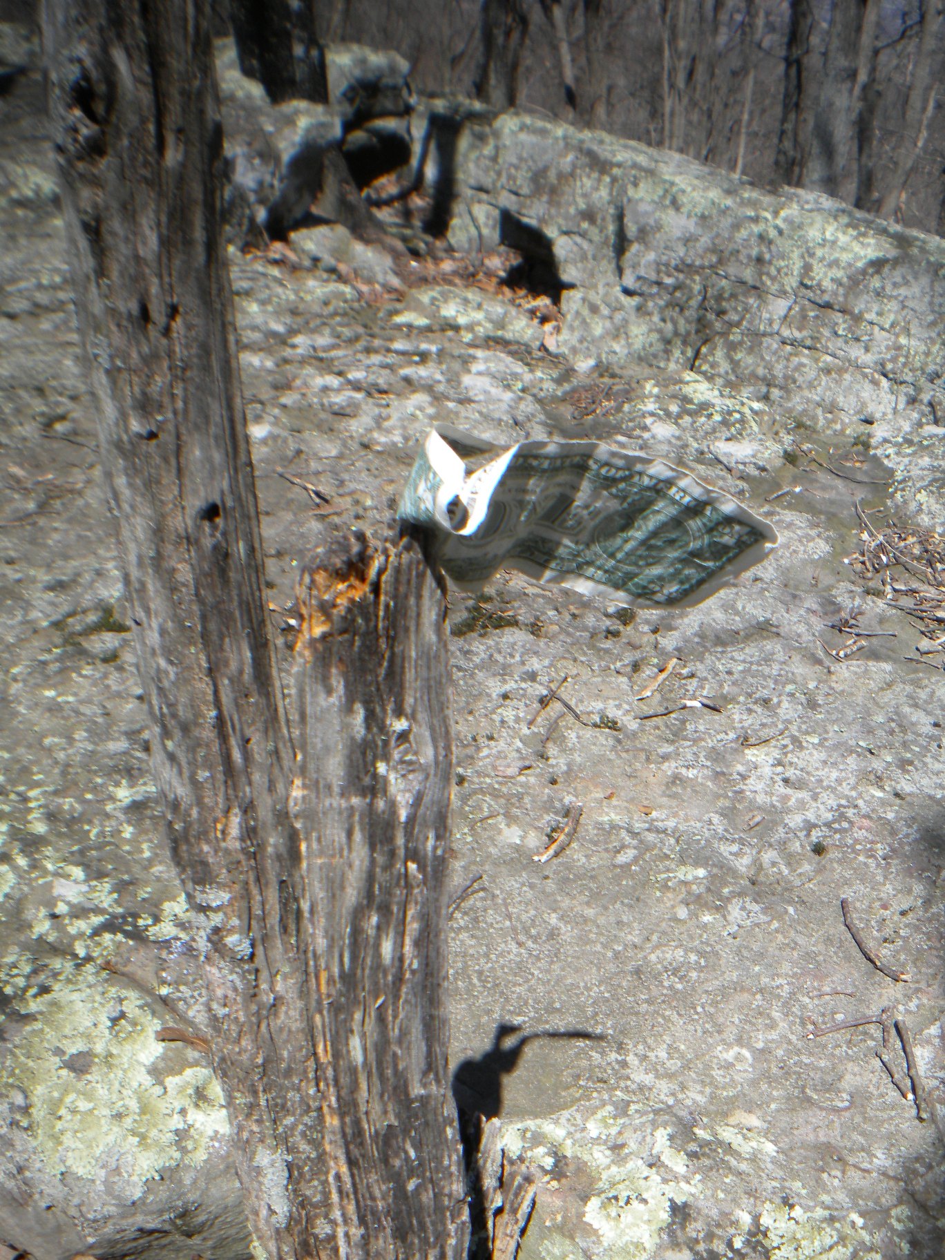
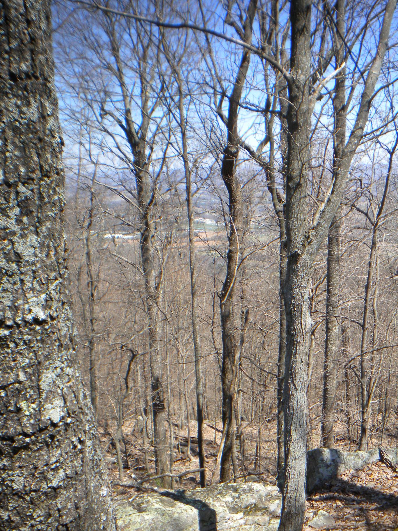
The third day provided with the opportunity to bite off a bigger chunk - meeting ended early and my flight did not leave till 6pm! So I decided to explore the Stone Cuts. With the advice of the Park Ranger (really, really good advice for this flatlander not familiar with these trails), I shortened my route. Headed down the Sinks Trail most of the elevation drop was fairly immediate, knew that would be a bit tough on the way back up. I quickly reached the Three Benches and then the intersection with the Keith Trail at the head of the Stone Cuts Trail. Once on the Stone Cuts Trail, I started going back up. En route to the Stone Cuts, I saw the Goliad Heights plateau and was disappointed my trail didn't make a turn up that hill. I noticed some beaten down leaves and took a small sidetrack up to the plateau. Perfect opportunity for some rock climbing too. Only to realize on the way down there were some natural steps on the makeshift trail... oh well, I had more fun getting up there! On top a dollar bill, someone had left a in a lovely sort of Tibetan way, was flapping in the wind like a prayer flag.
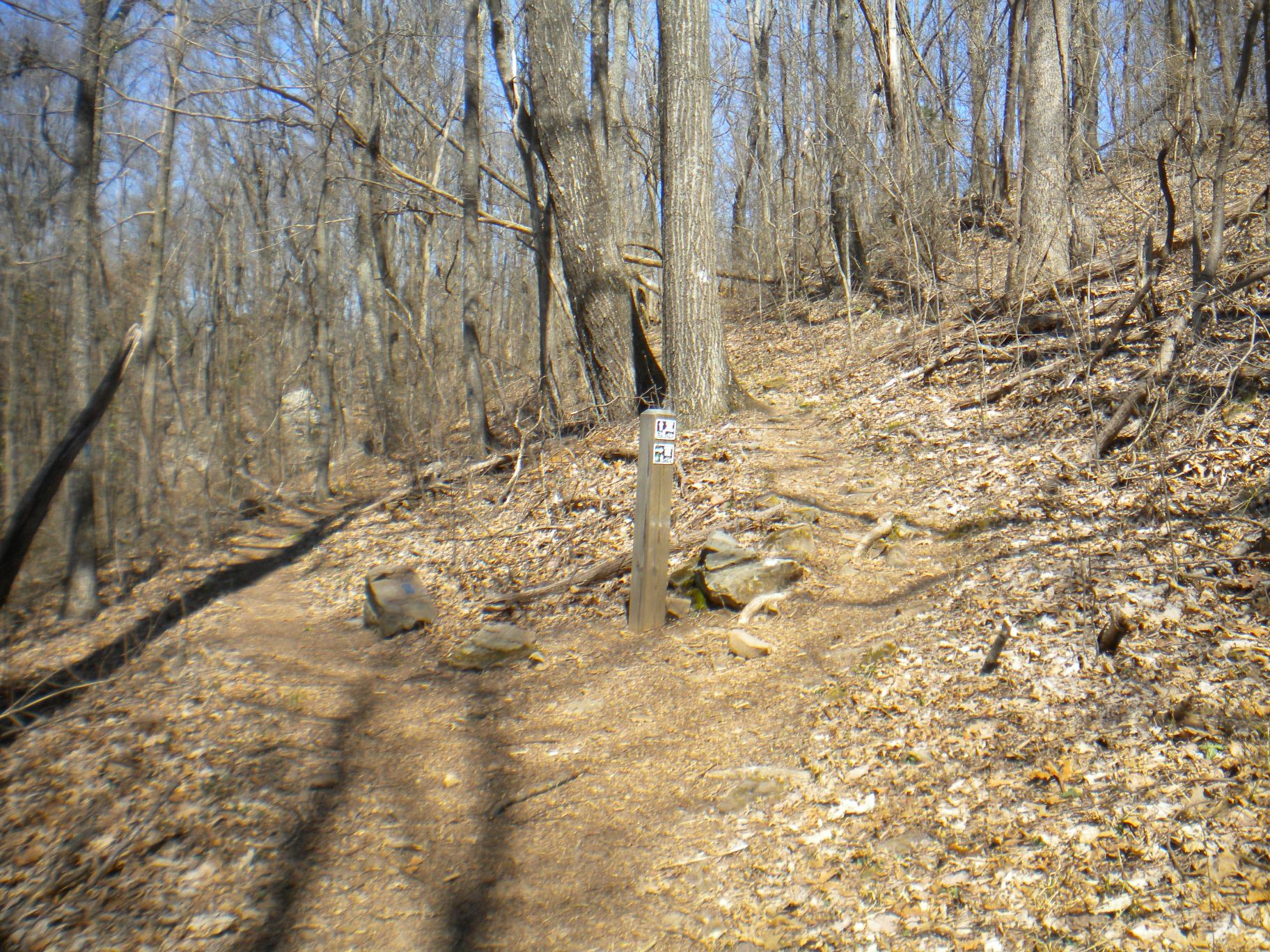
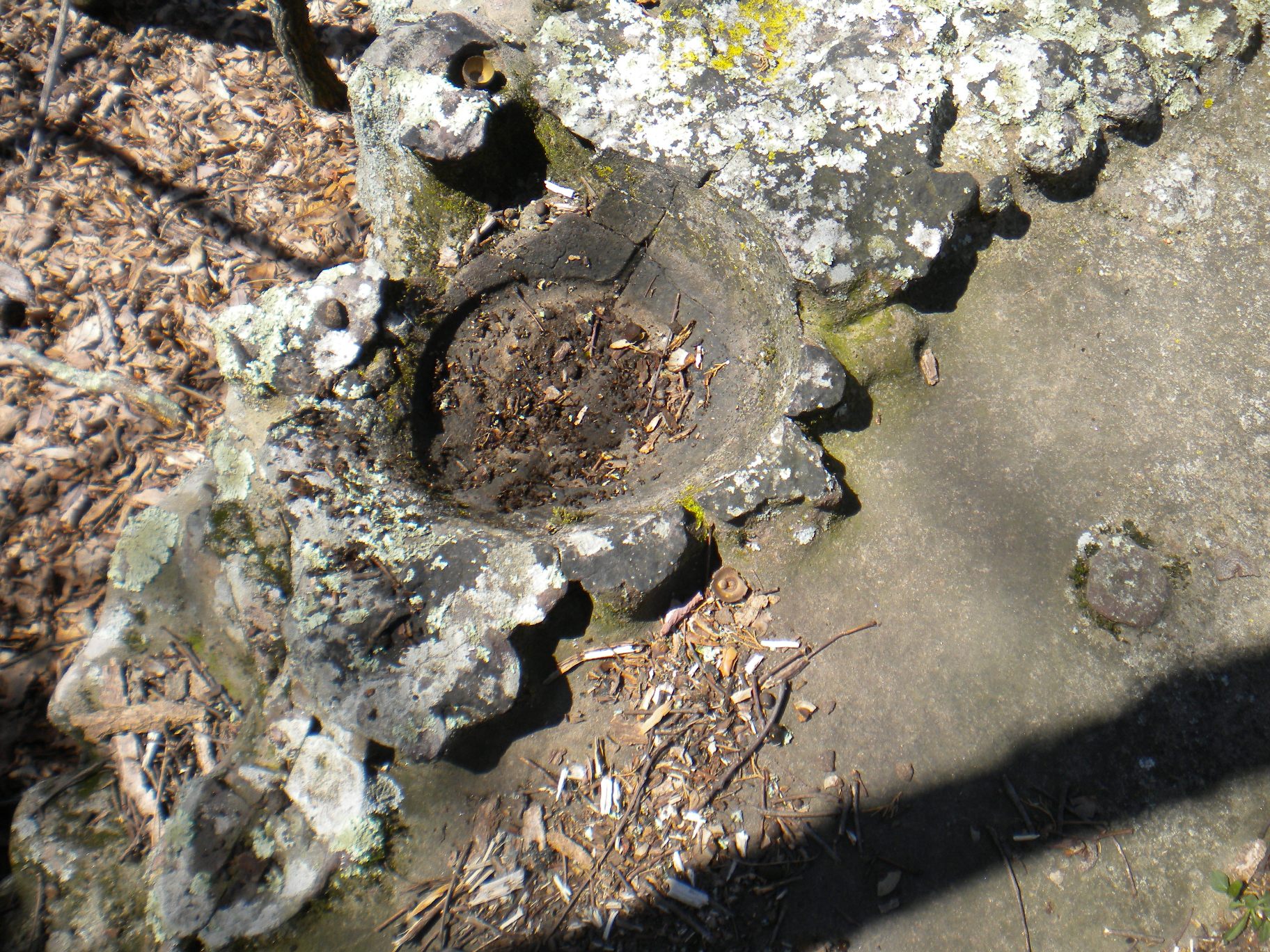
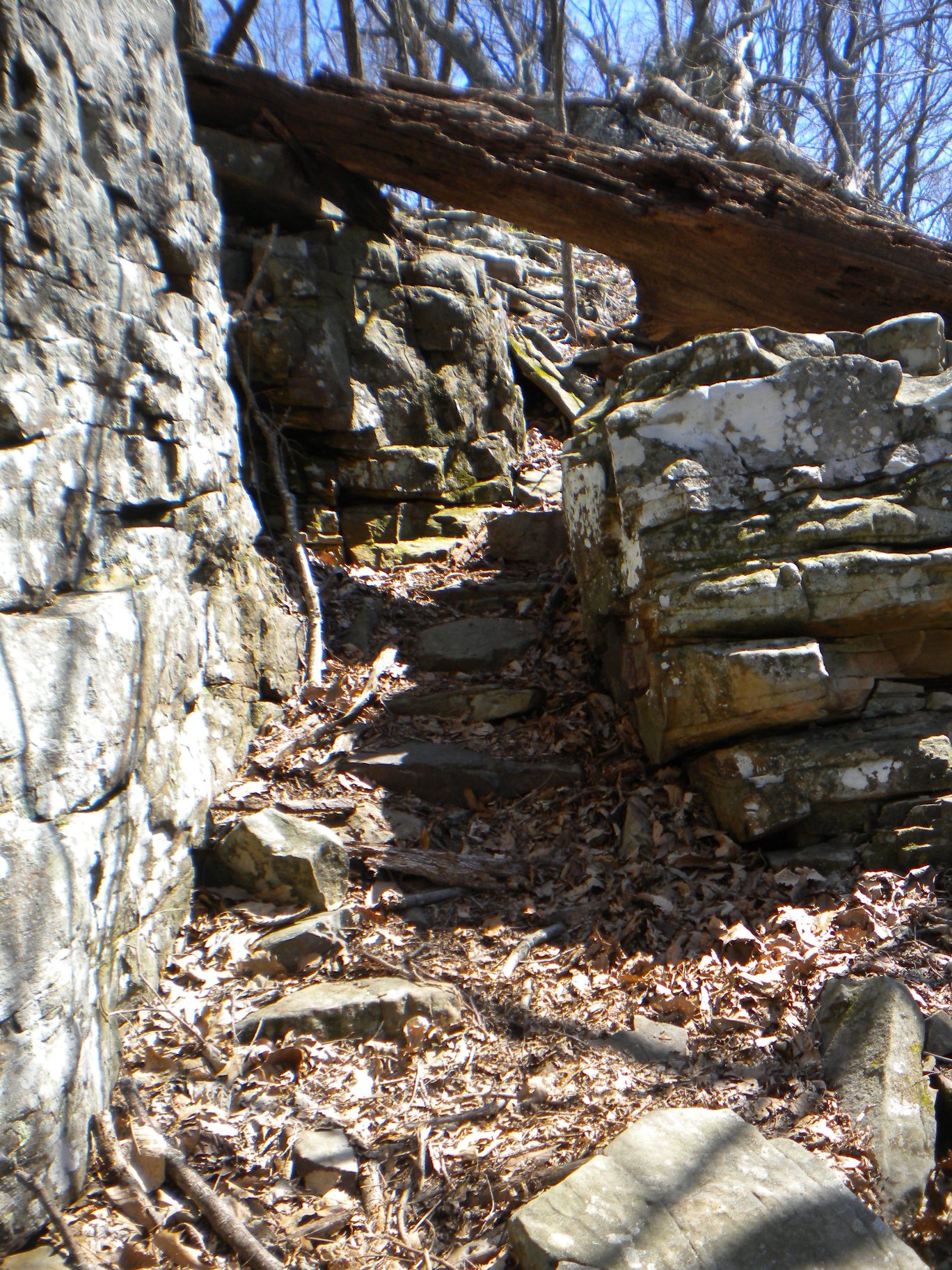
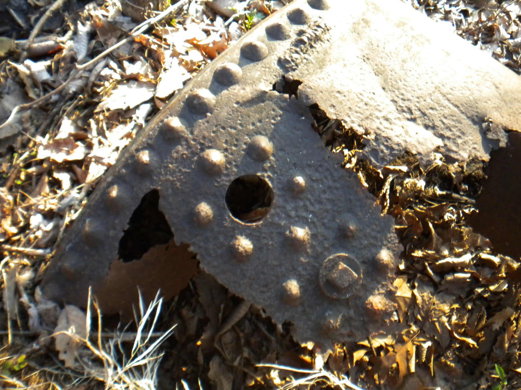
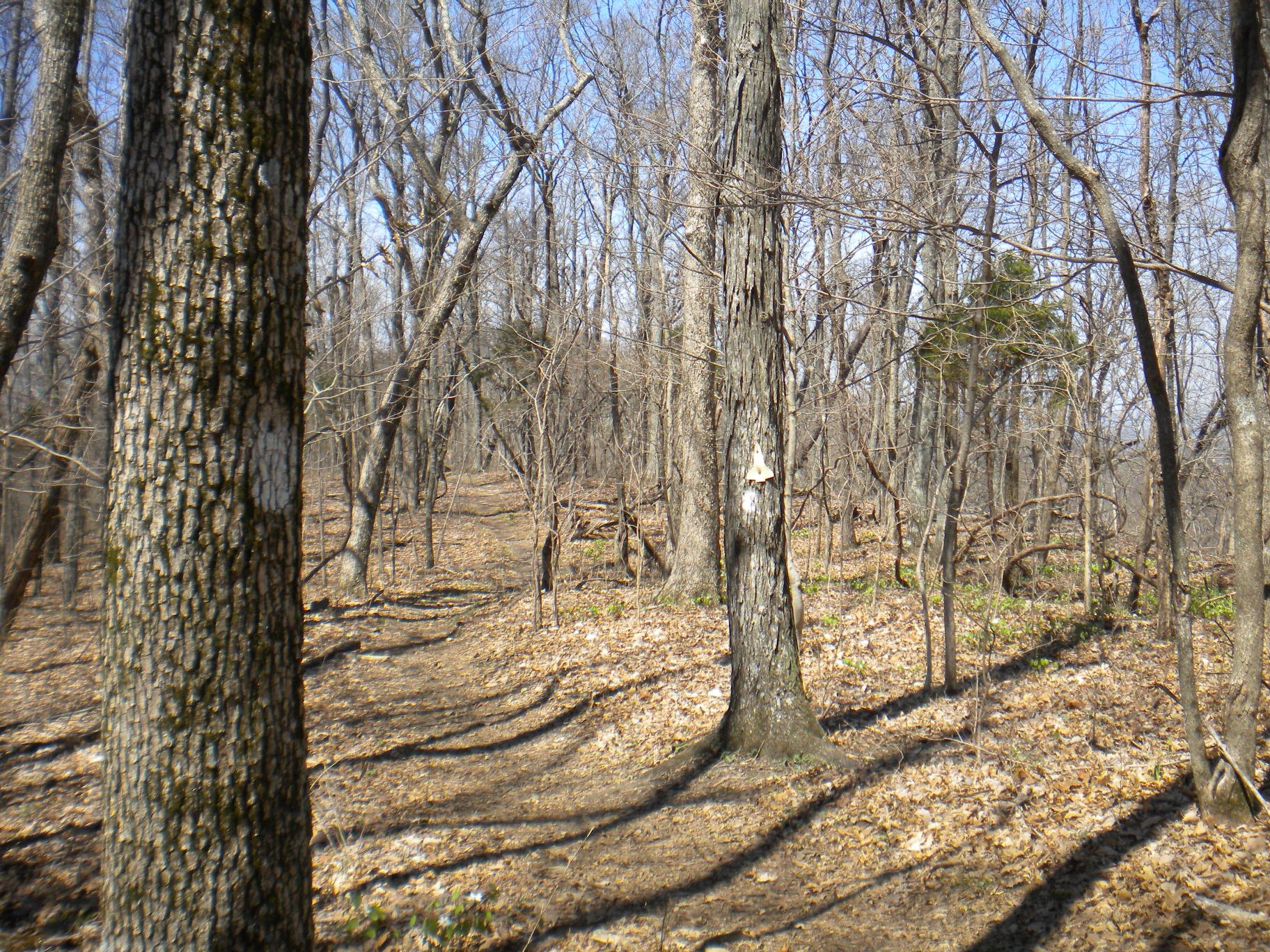
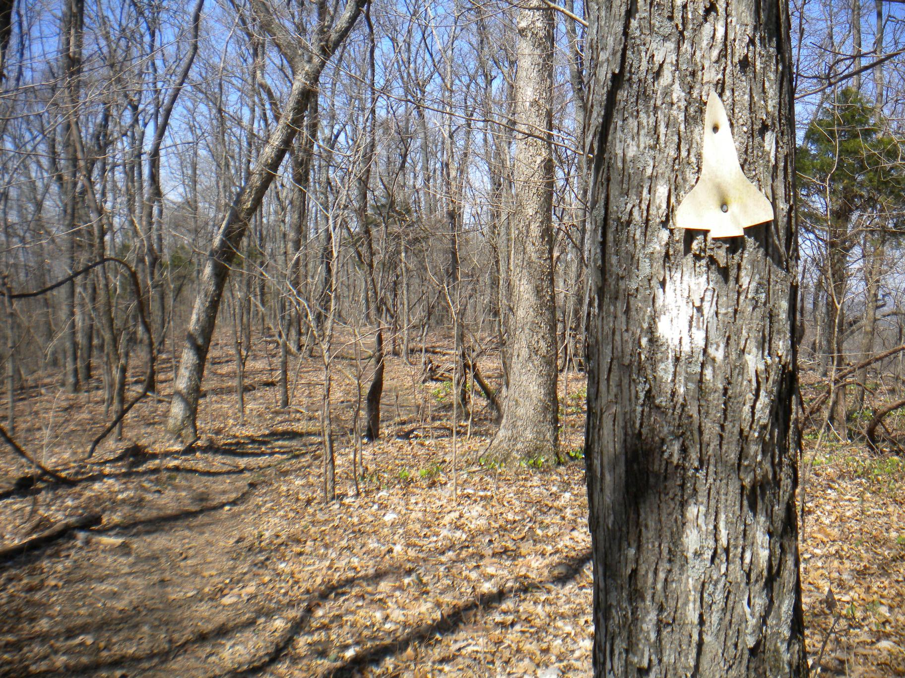
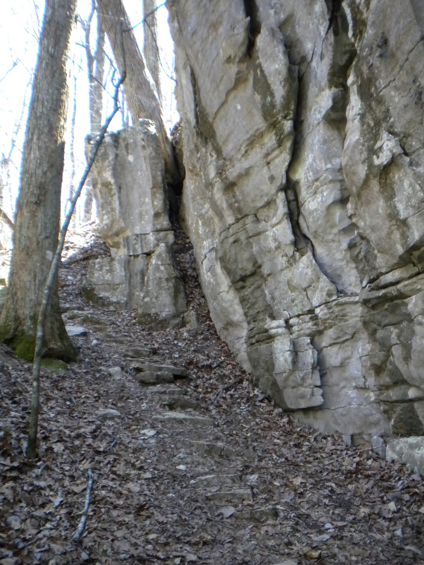
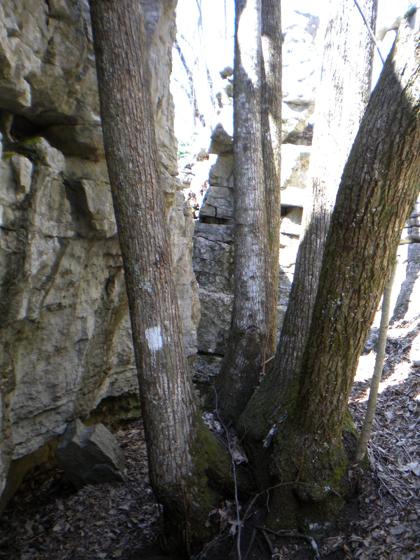
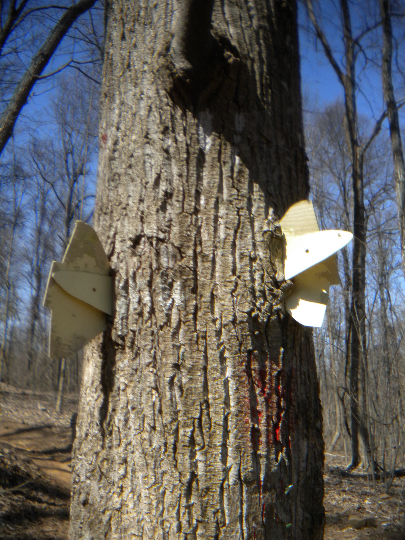
Back on my way on the Stone Cuts Trail, I see another one of those Space Shuttle markers that must have been leftover from some kind of trail run race. I only saw maybe four or five of these on all the trails I explored and never in any kind of related vicinity - maybe it was actually some kind of points station. The entry to the Stone Cuts is on the right (the blue trail is the Stone Cuts Bypass which is a flat trail on the mountain side.
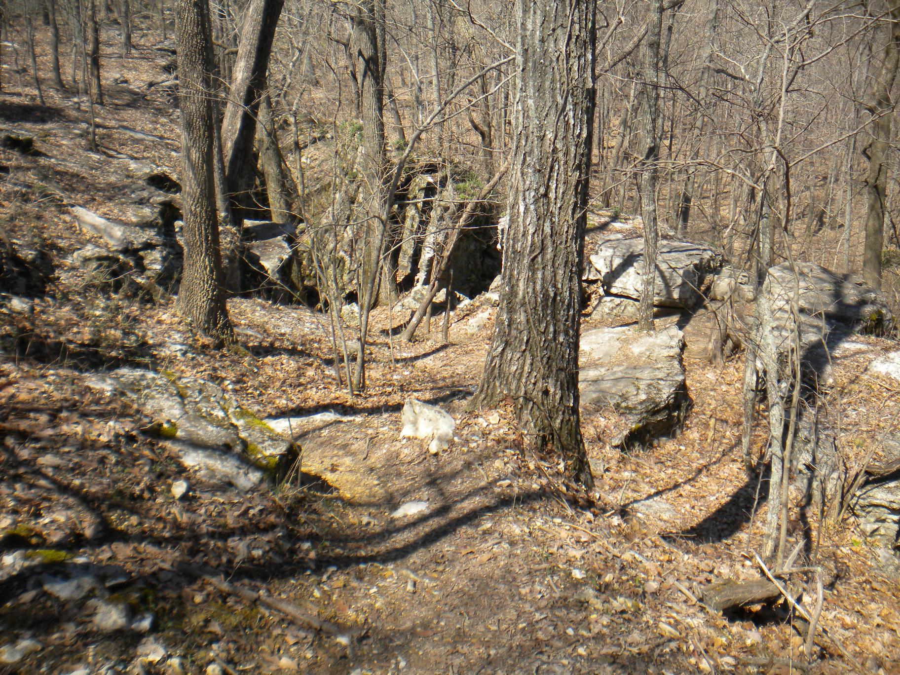
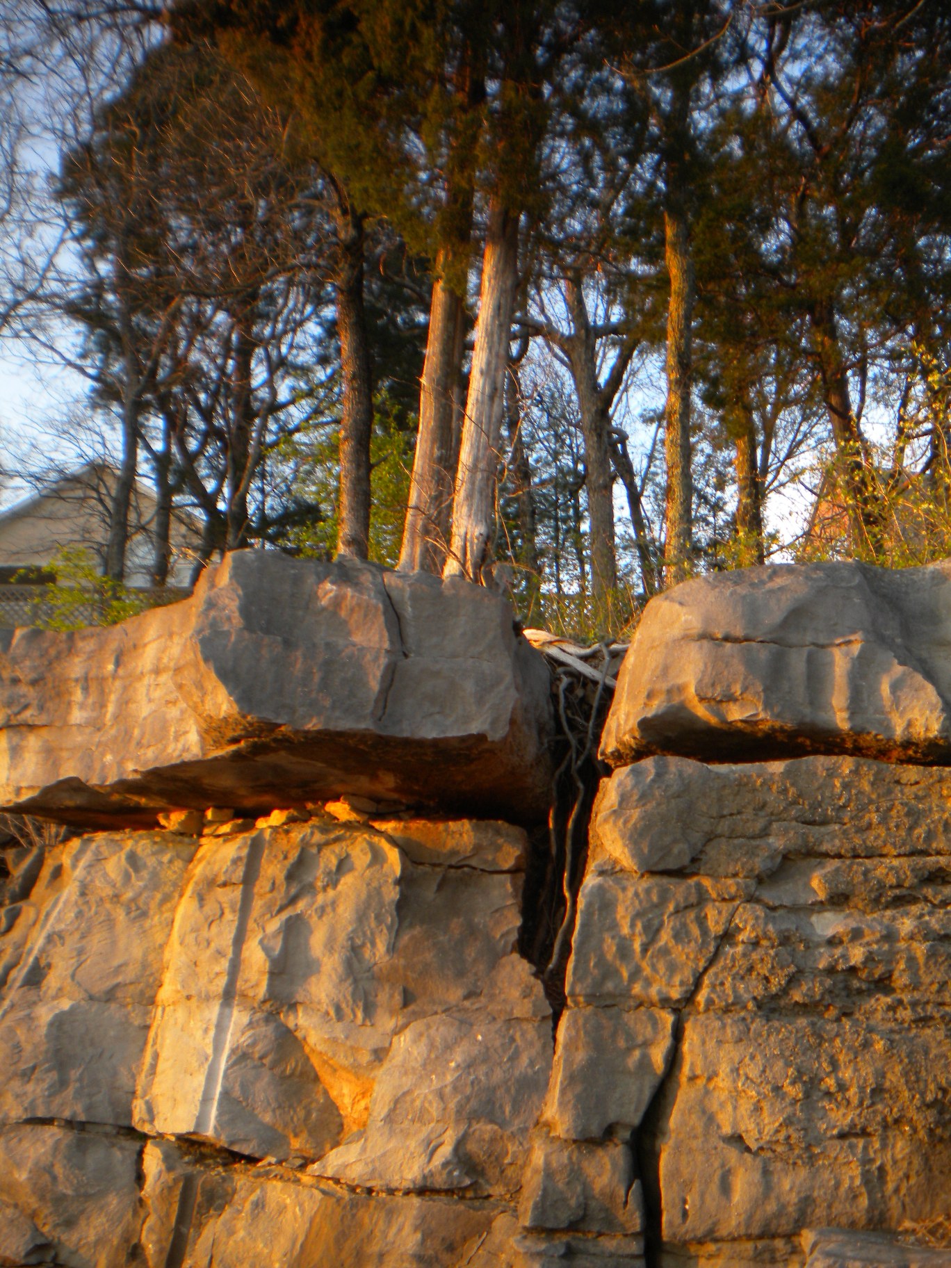
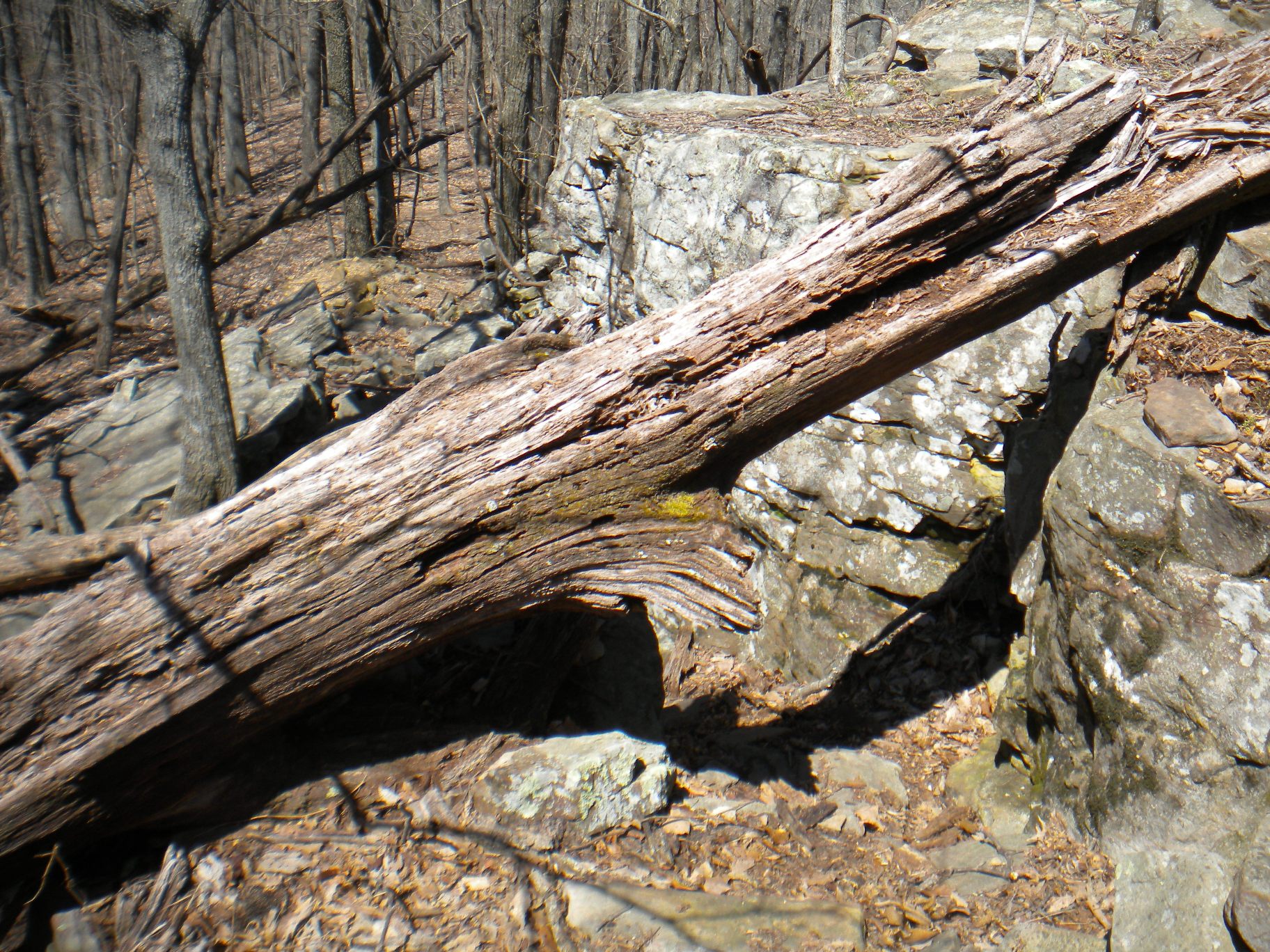
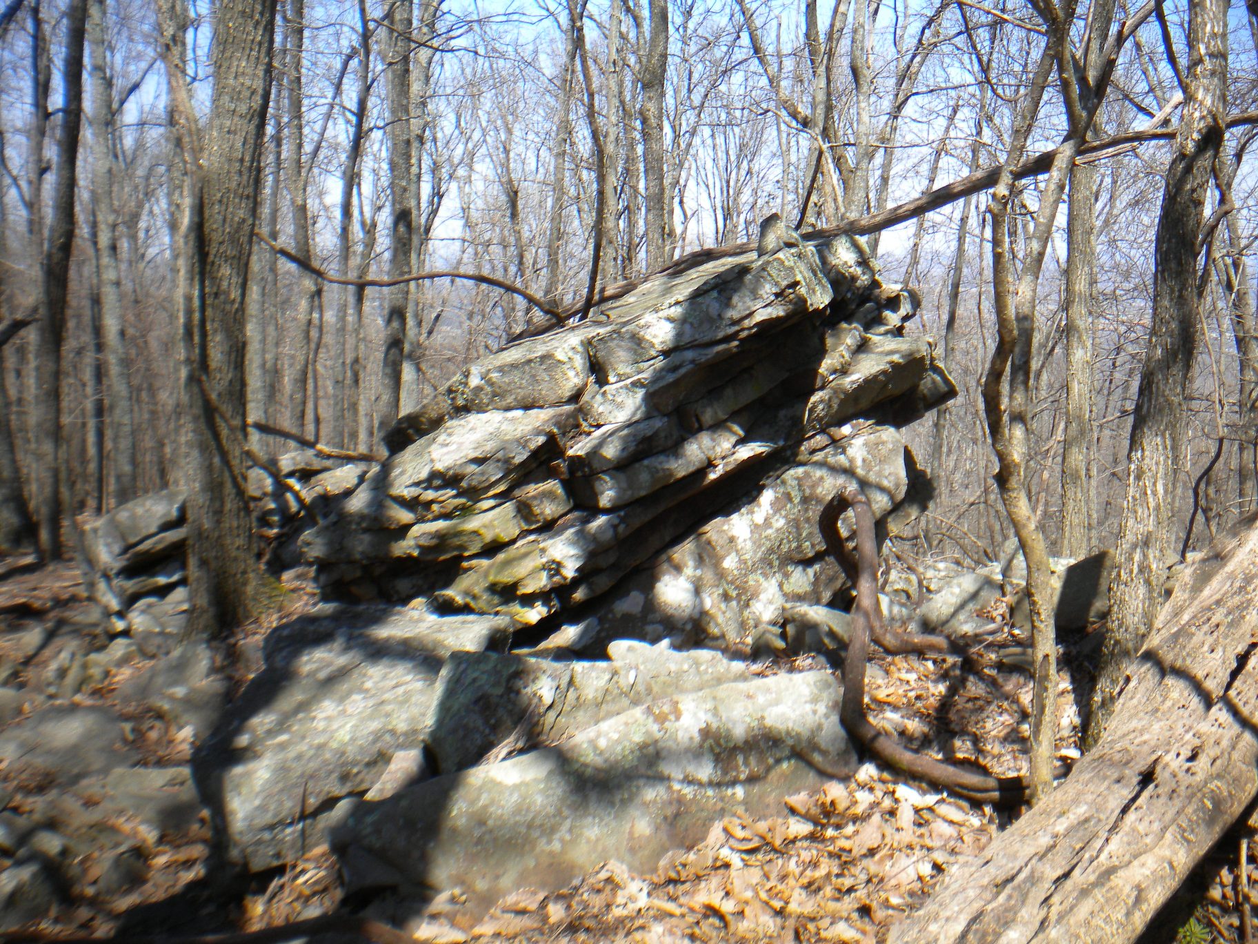
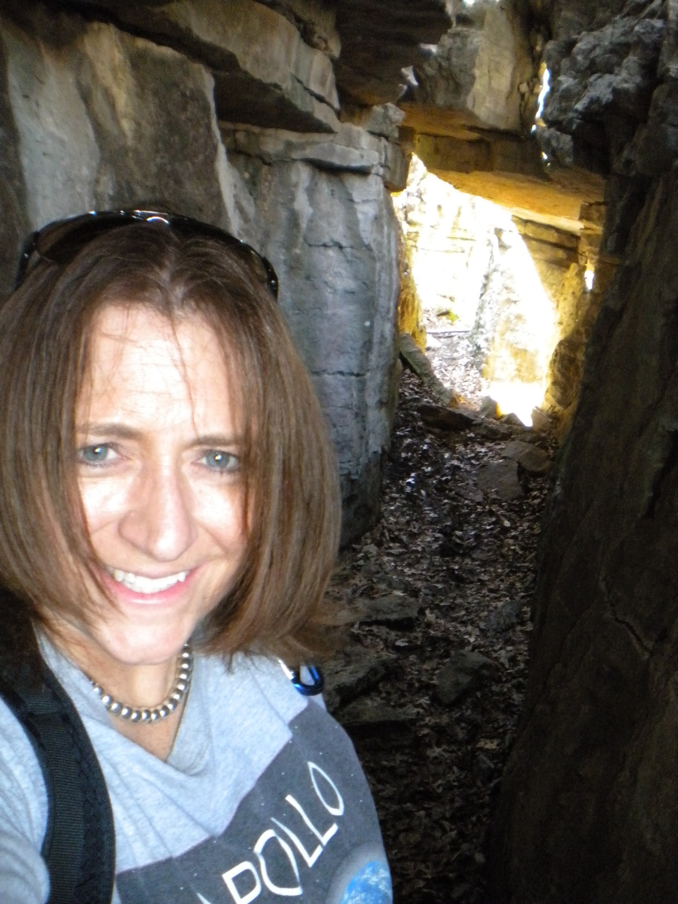
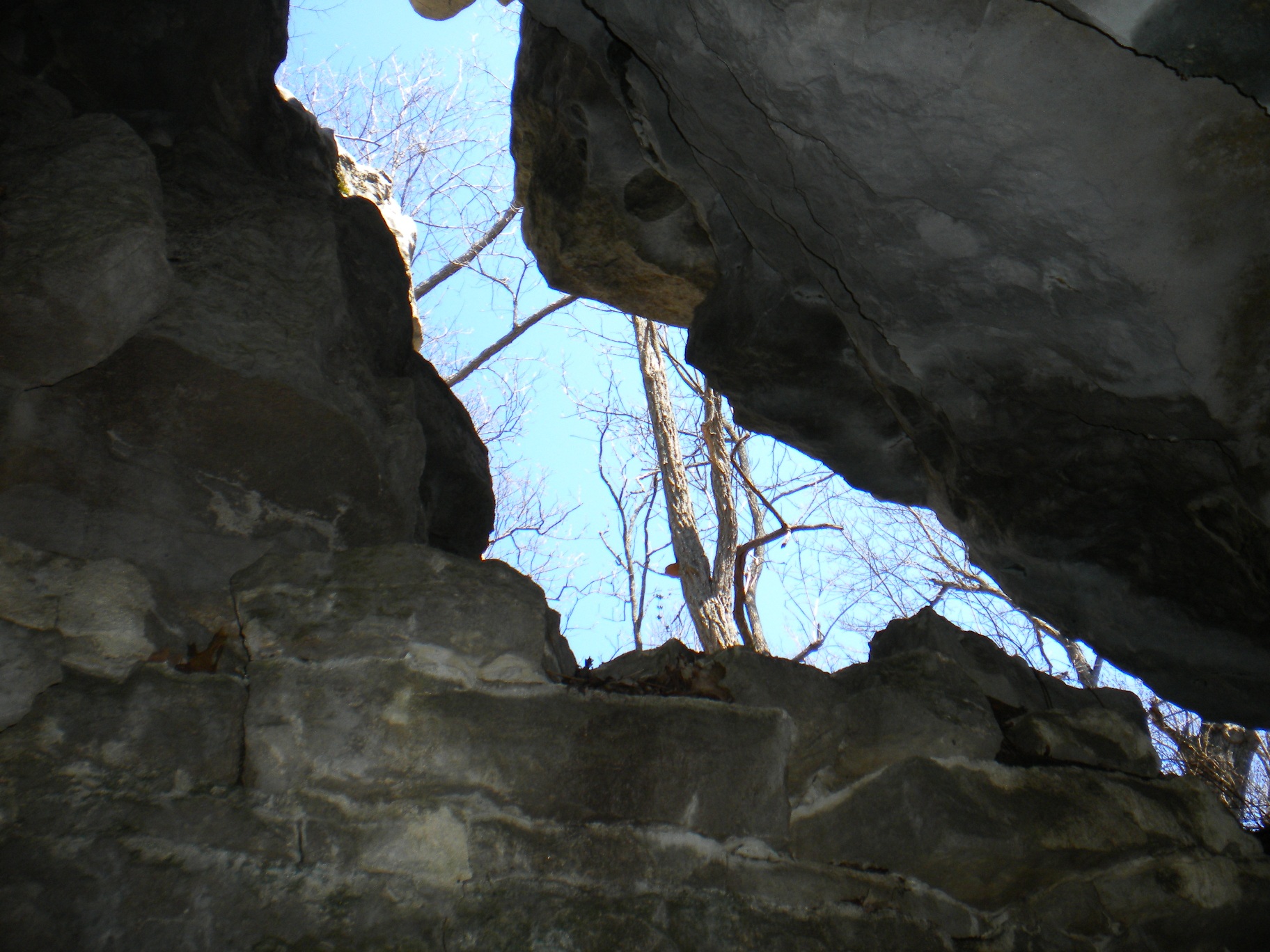
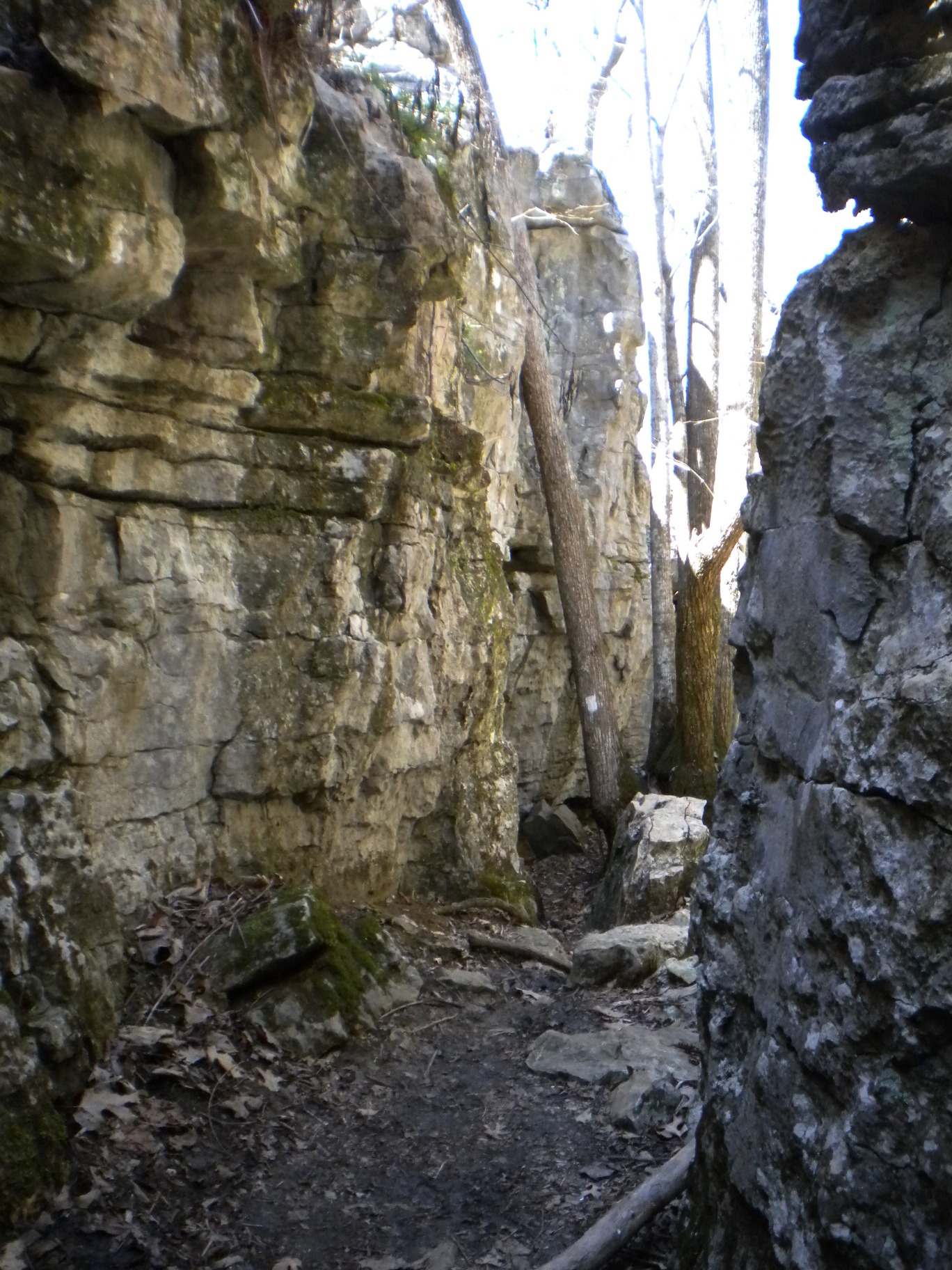
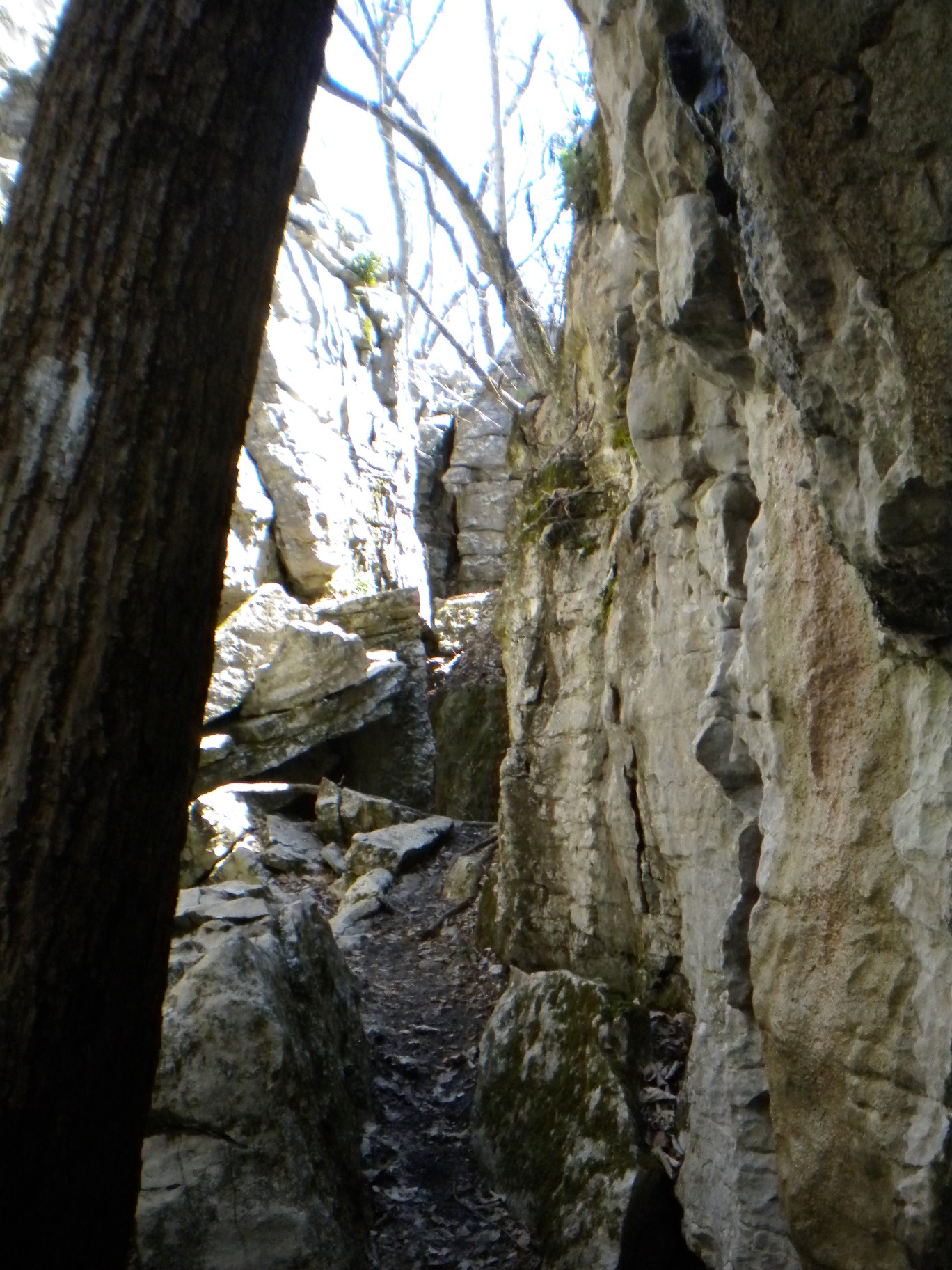
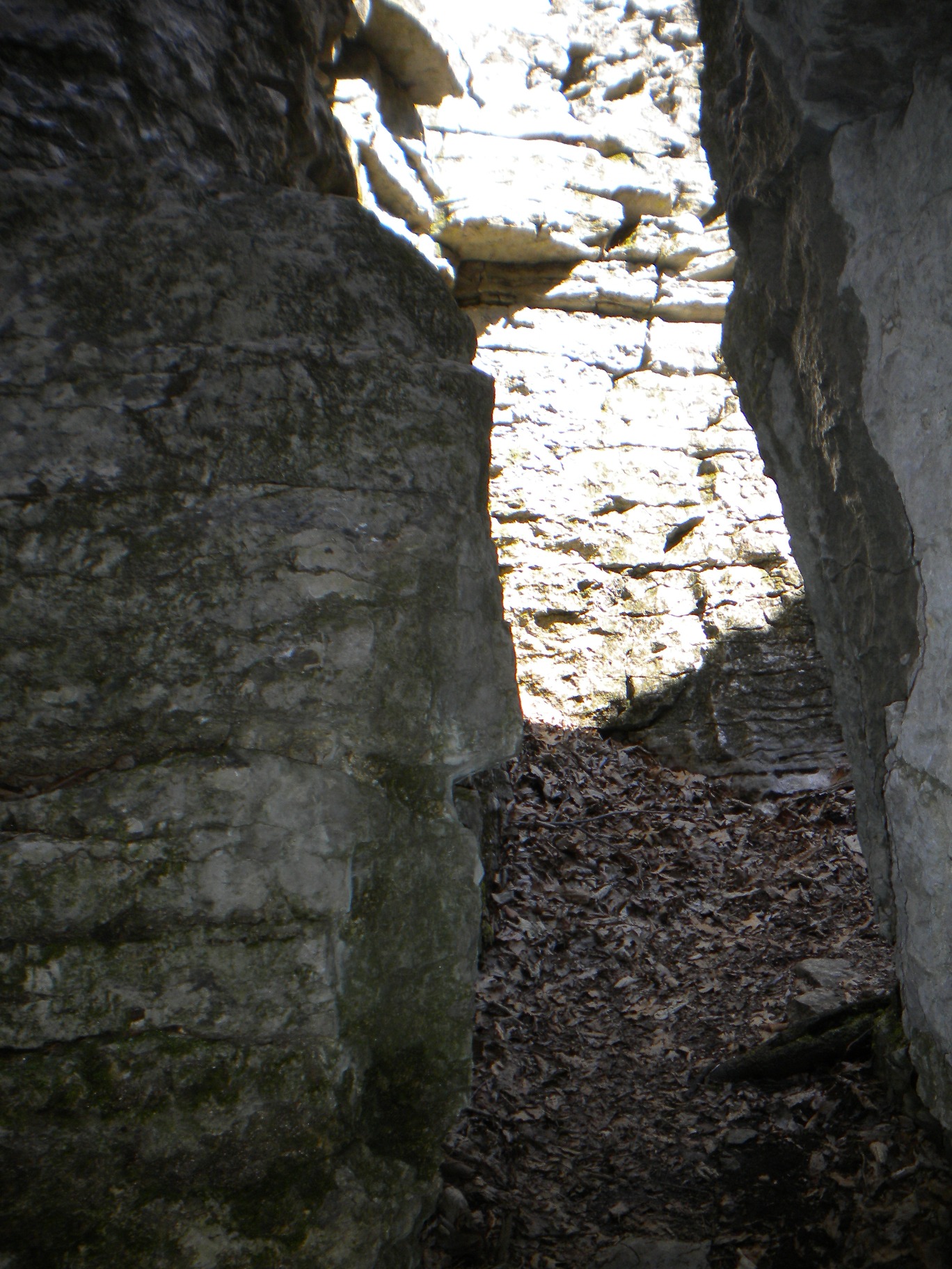
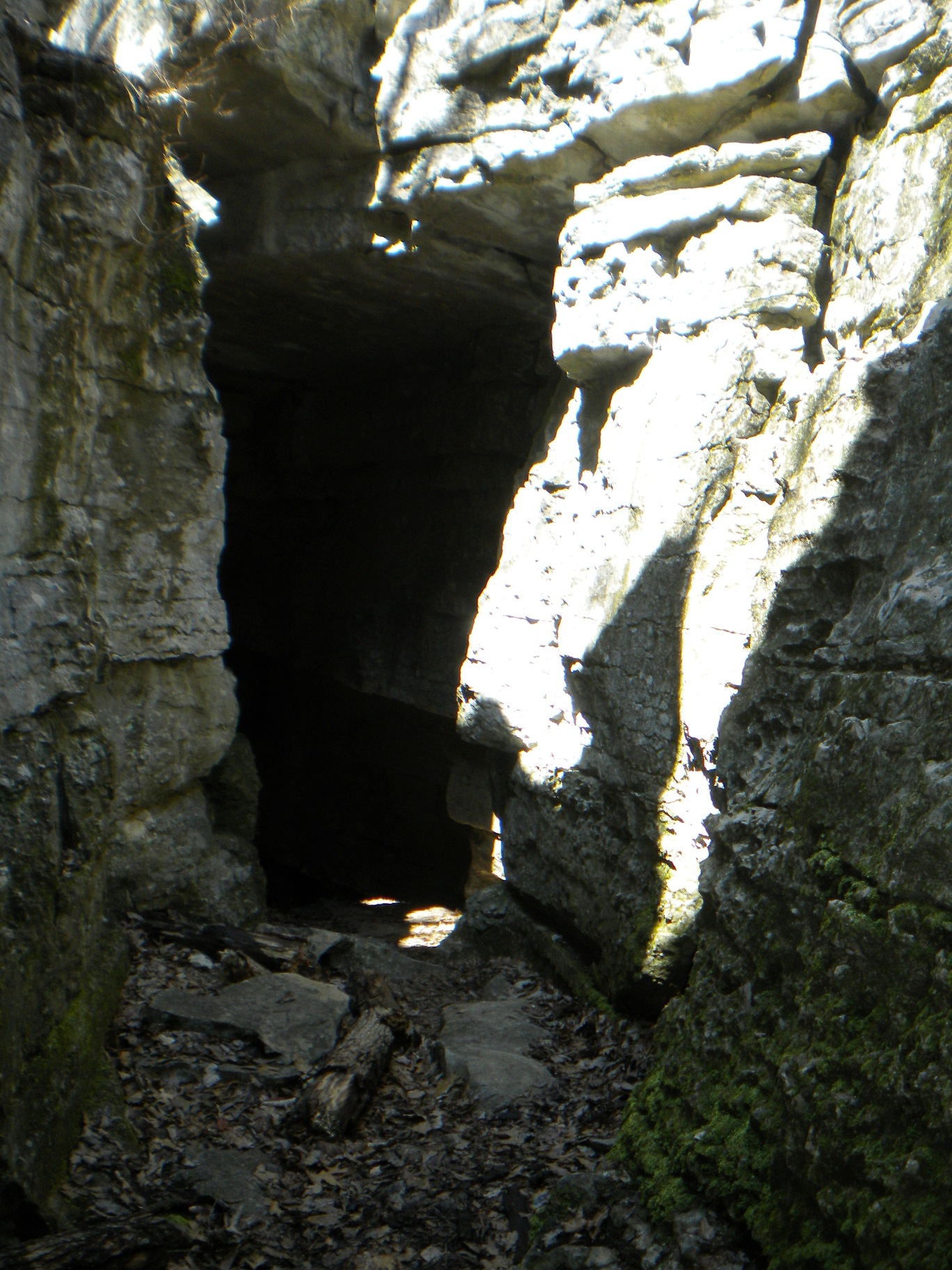
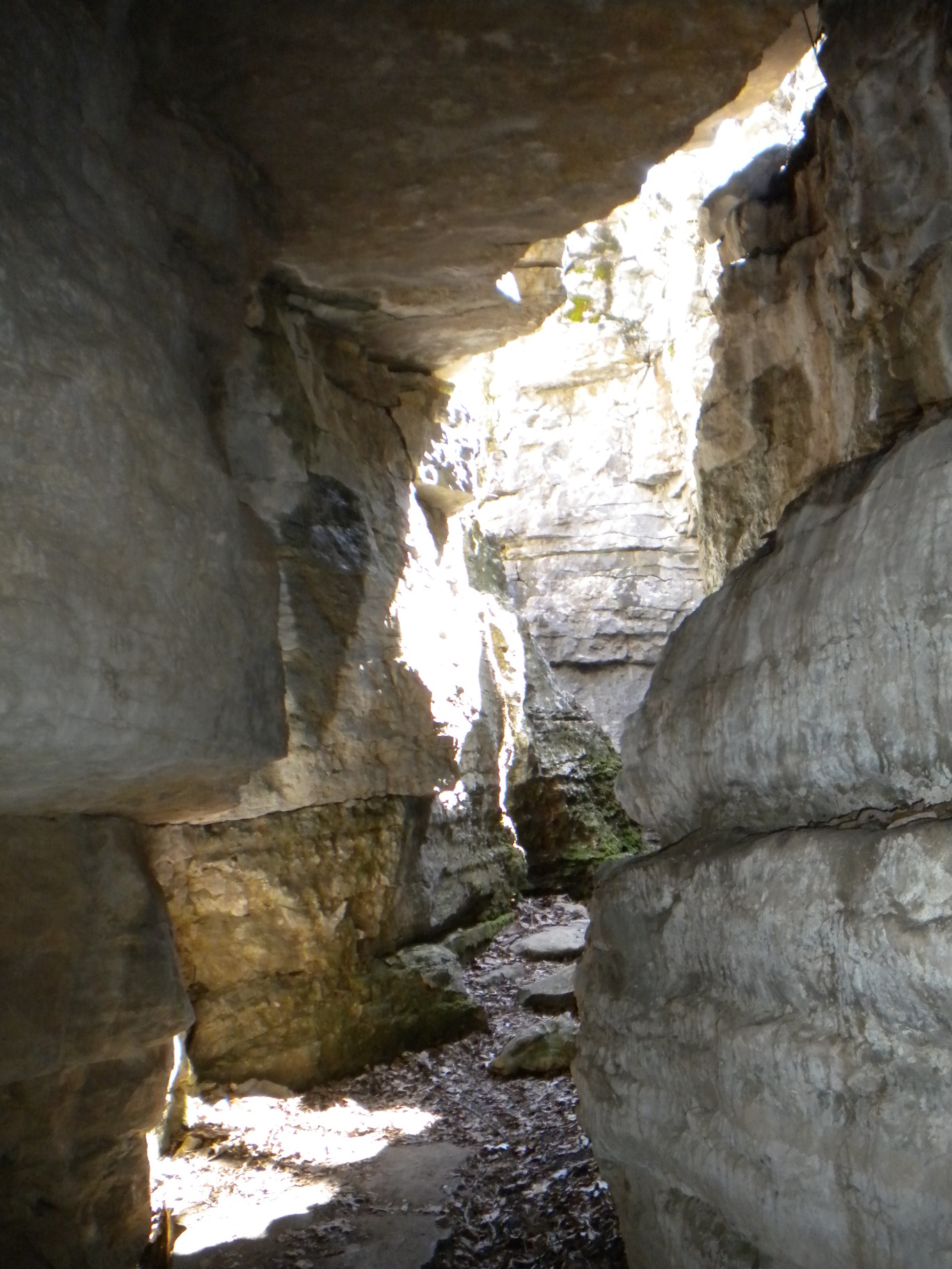
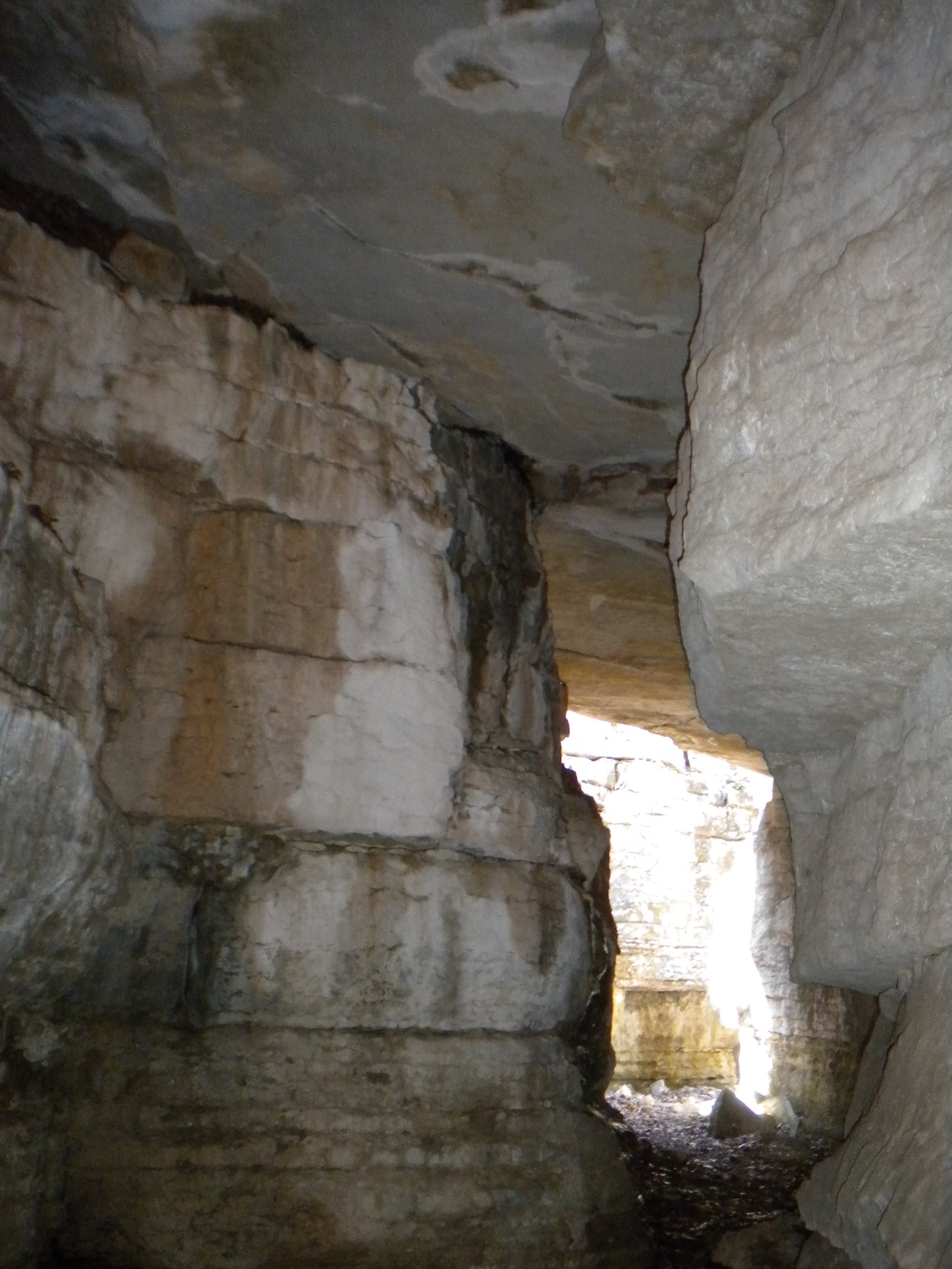
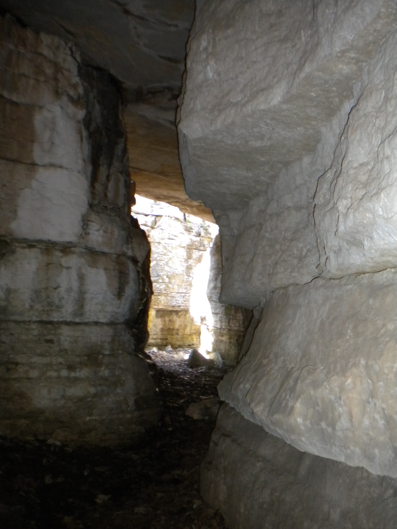
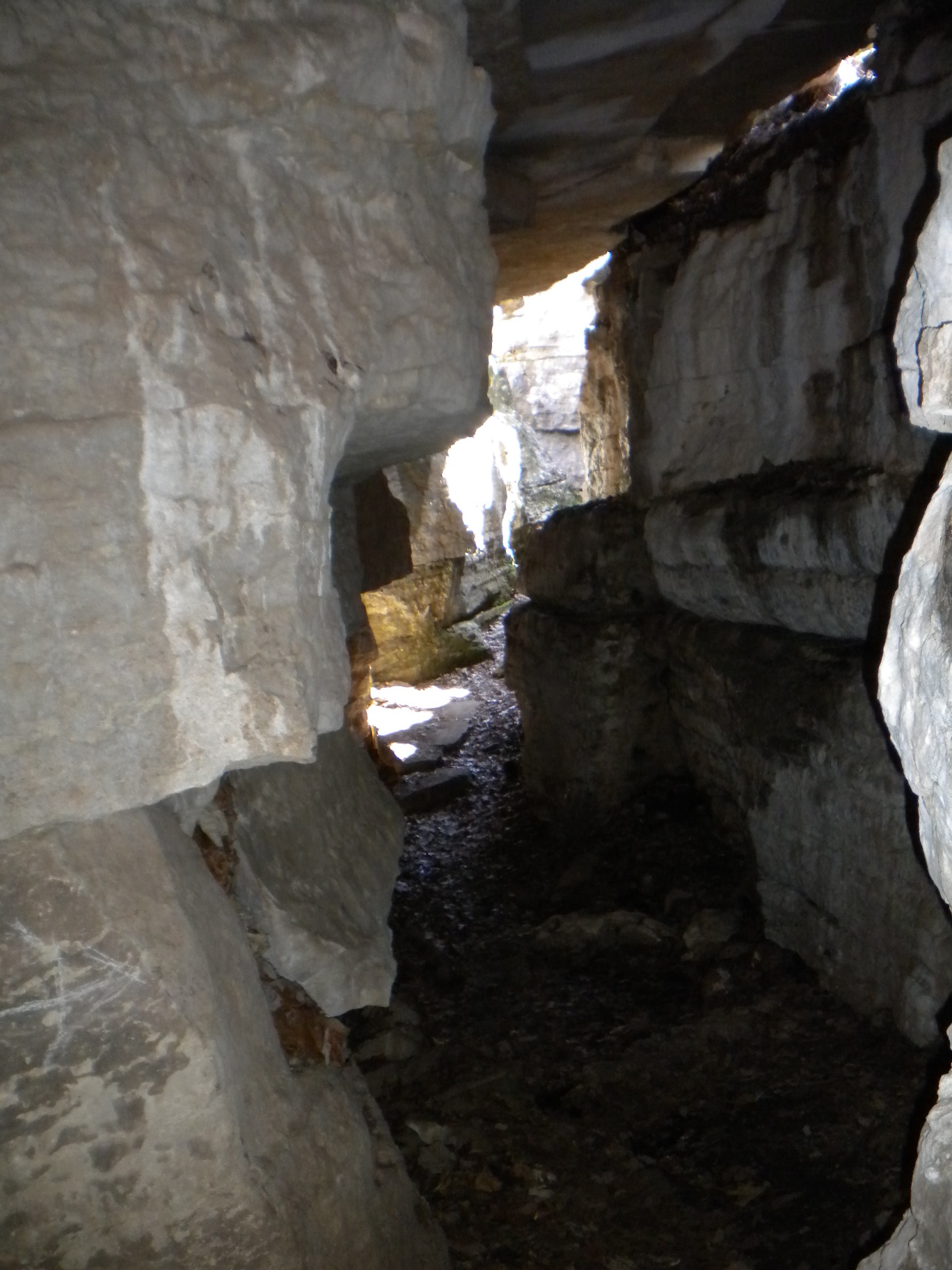
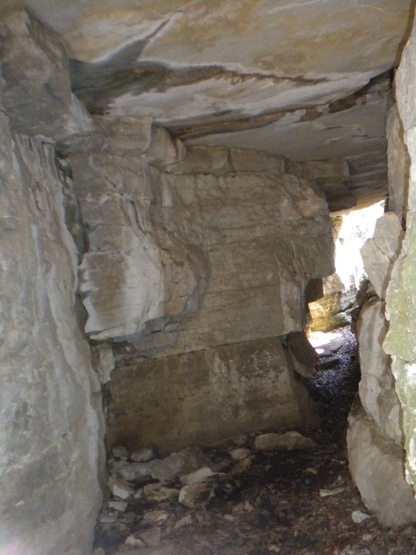
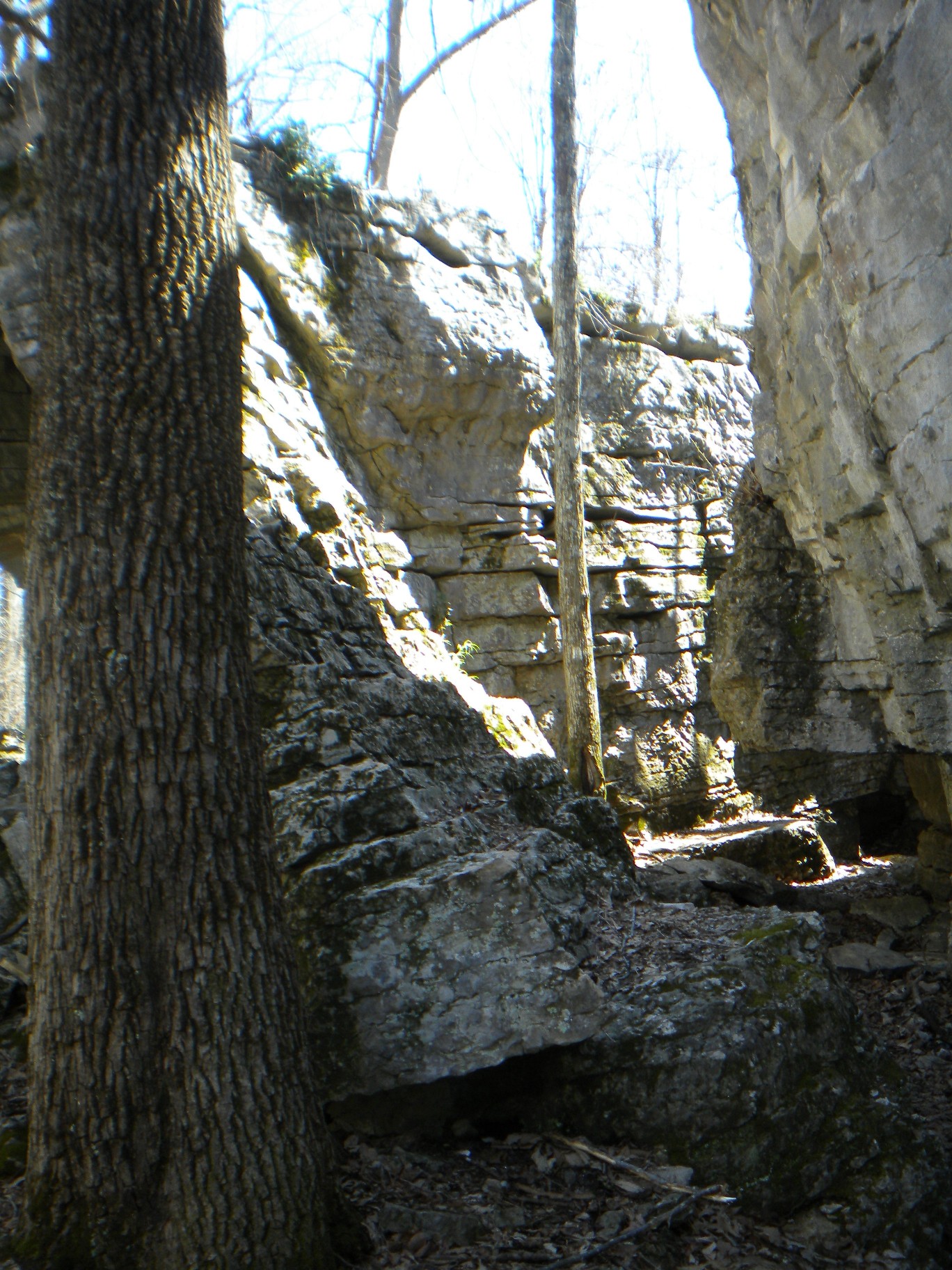
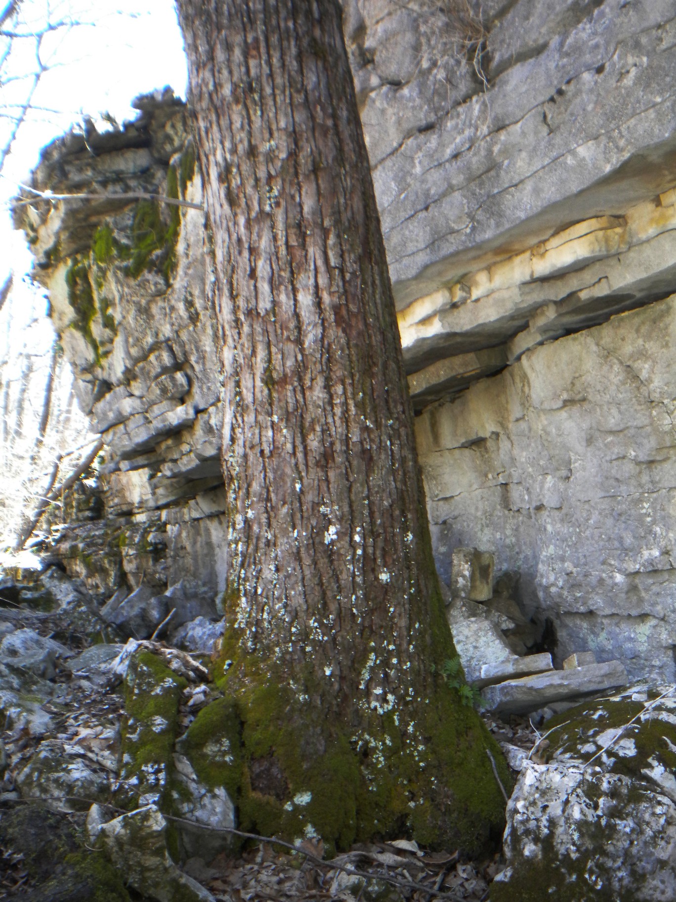
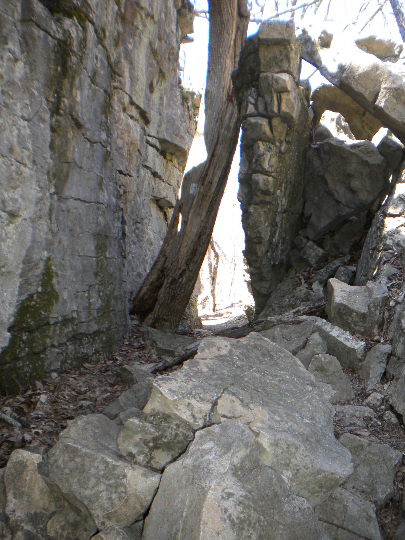
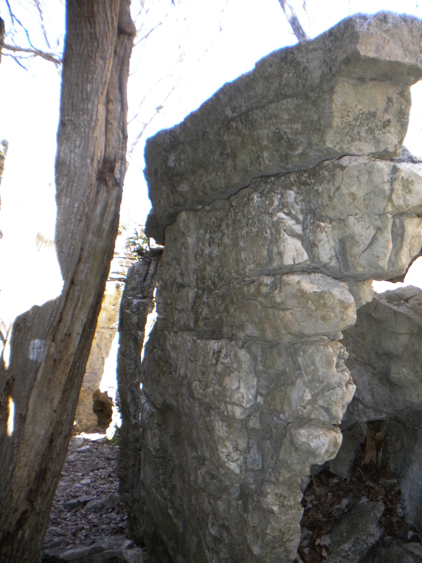
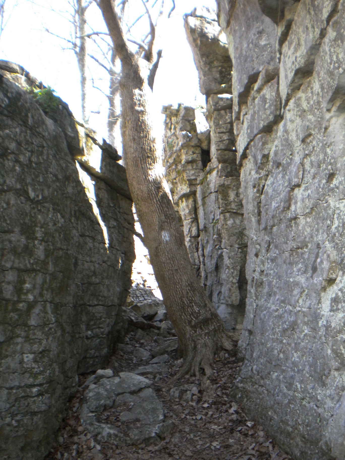
The Stone Cuts and their rock formations were amazing and worth the effort in getting there. I wasn't really sure I was there until I was there - and then you know! There are several passageways, three or four and mostly connected, most are covered like a tunnel. The first tunnel has a dramatic entry that allows you to see the exit (where I took my self portrait). In some places you could see sky up through a crevace (reminded me of the Cenotes).
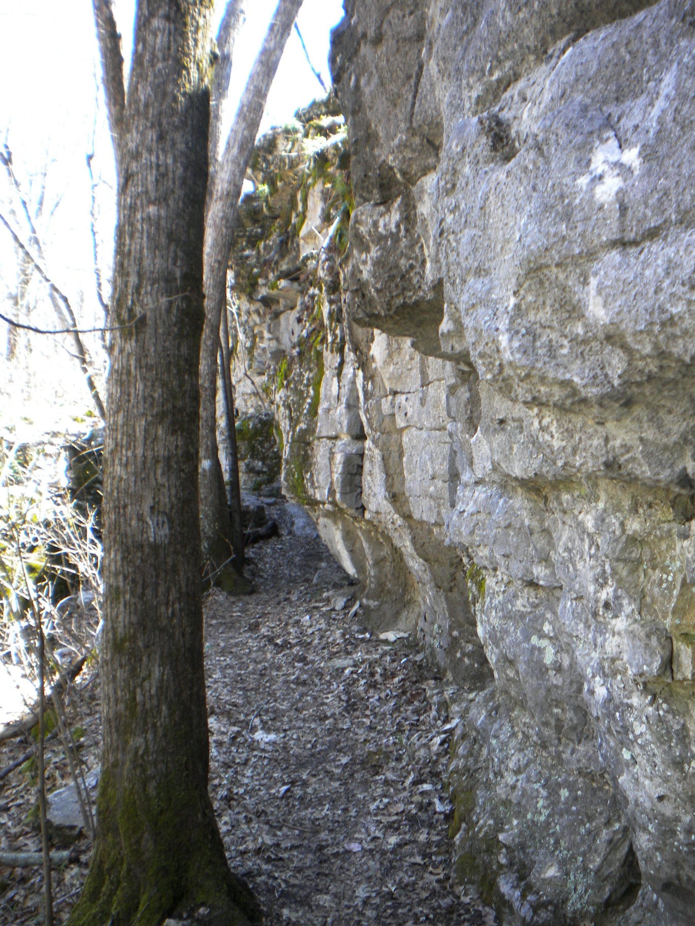
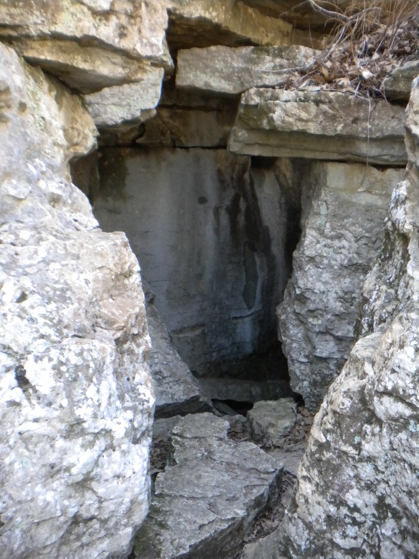
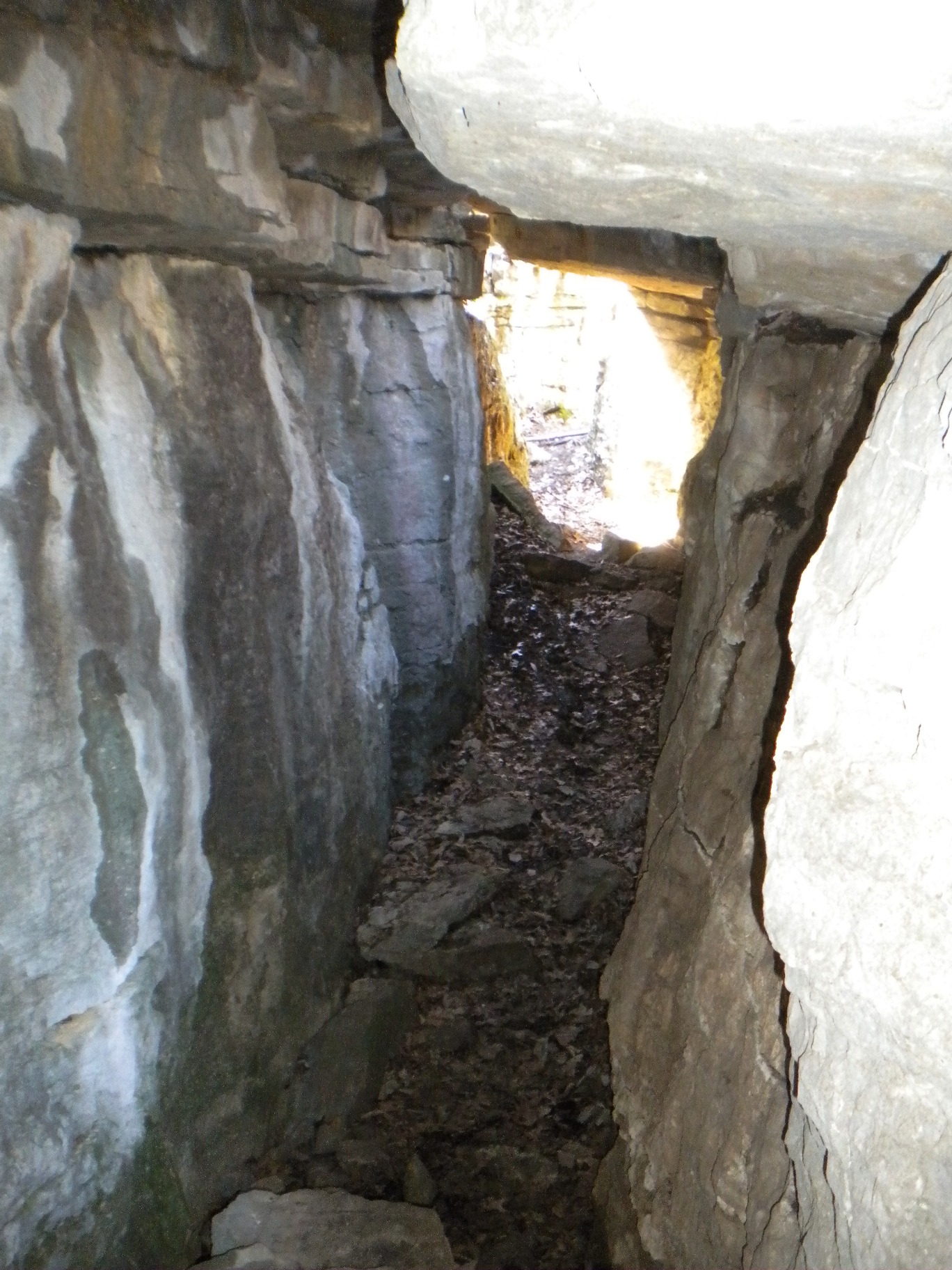
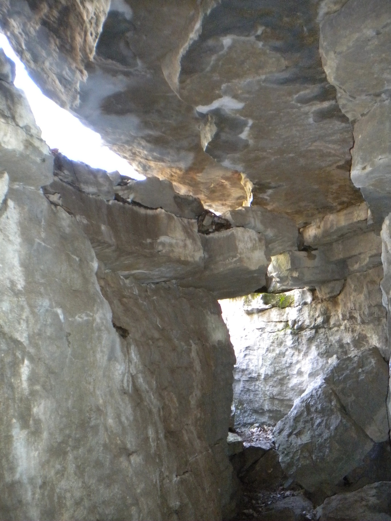
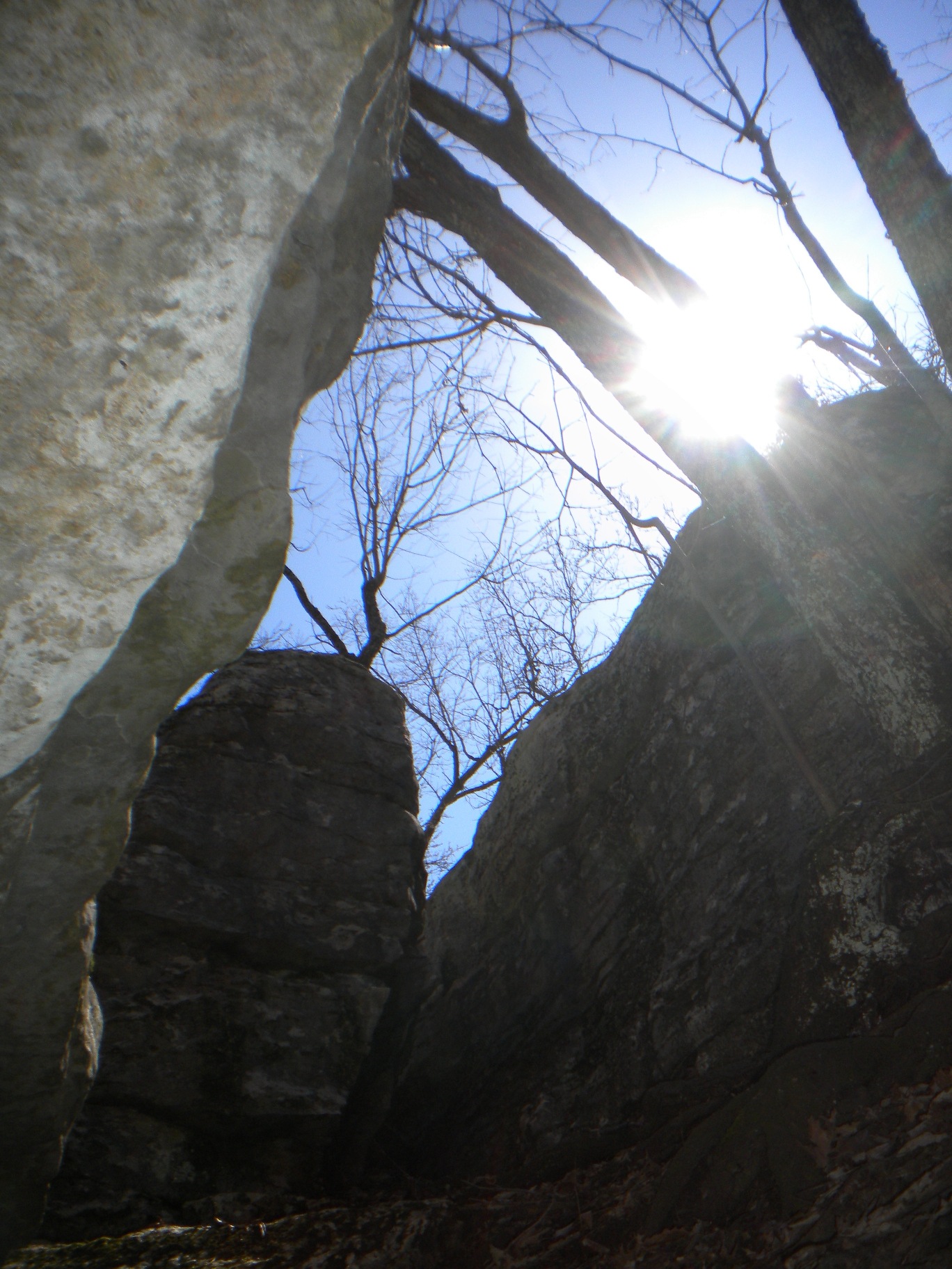
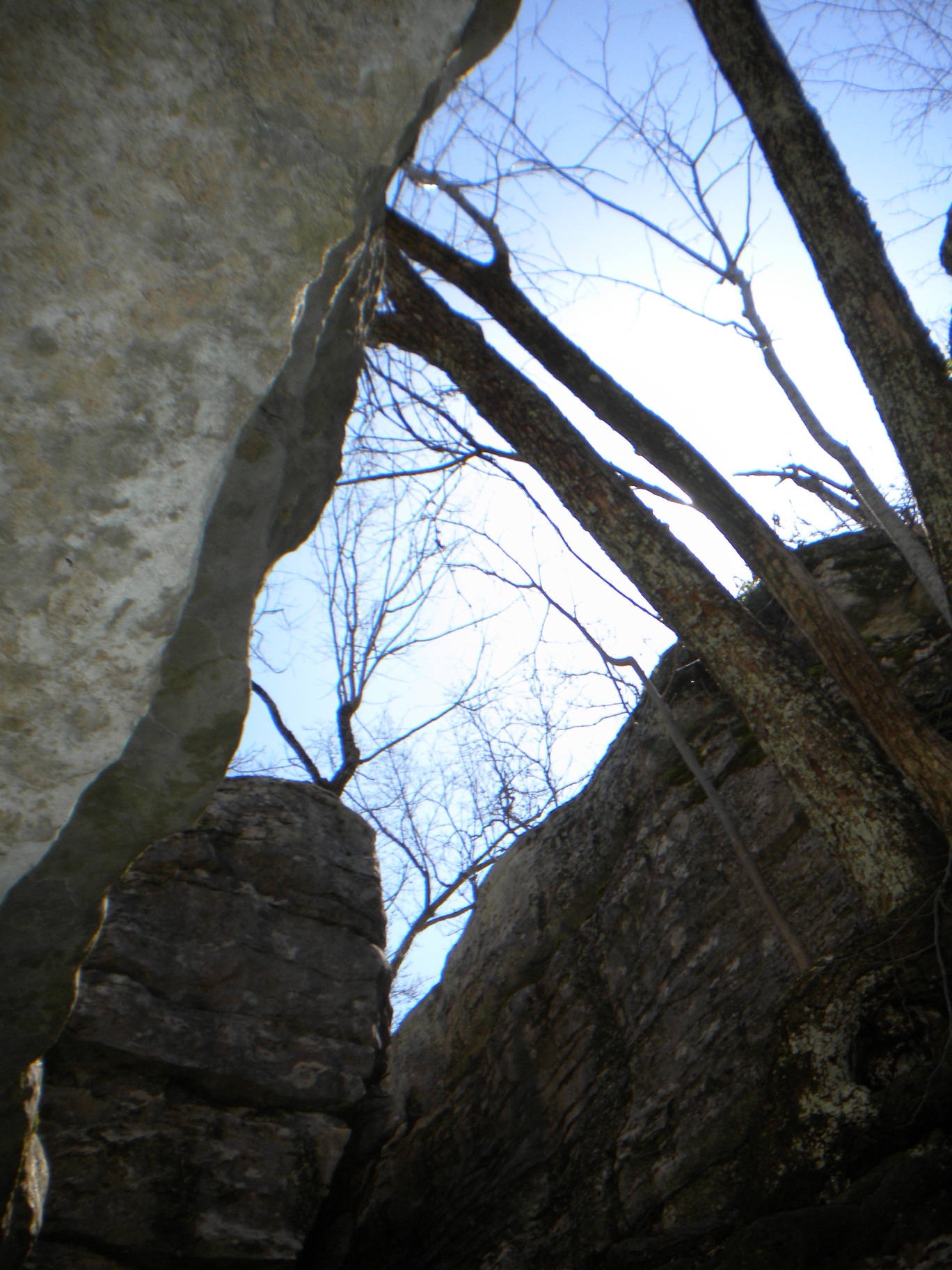
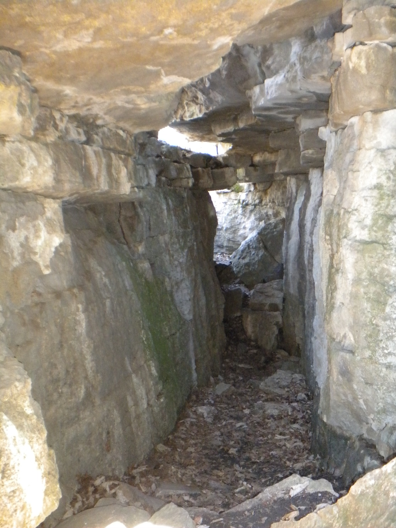
There were a few smaller tunnels and some caves that were to the side and not part of the route. You could spend a lot of time here just exploring. And there is plenty of bouldering... I really wanted to try my hand but was alone and on a schedule. You enter the last tunnel as a crevace jogs through a right angle turn and to get out you have to climb up a bit of rock. An amazing place that I must do some geological research on - I have seen very little on any of the trail websites about the Stone Cuts.
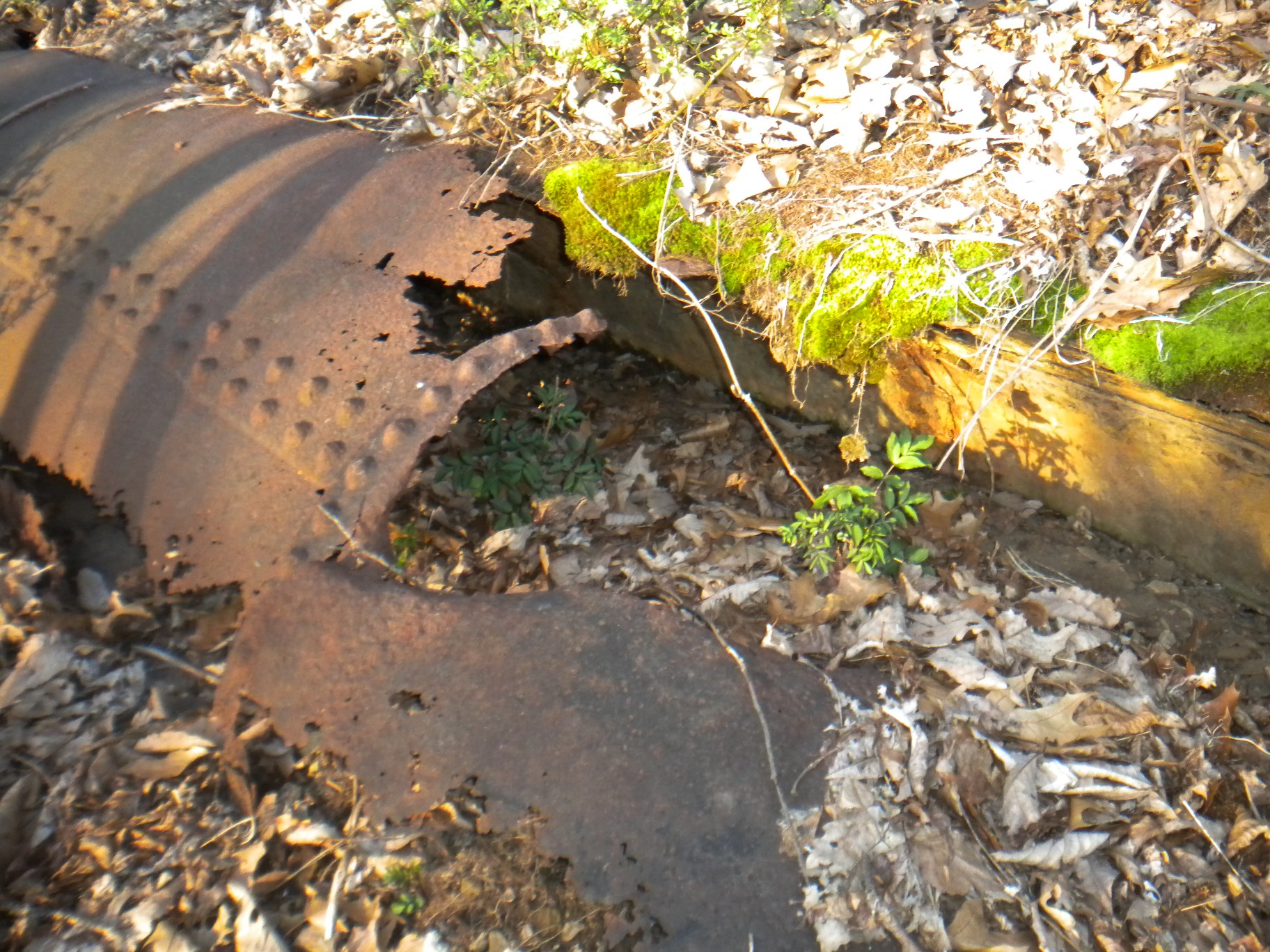
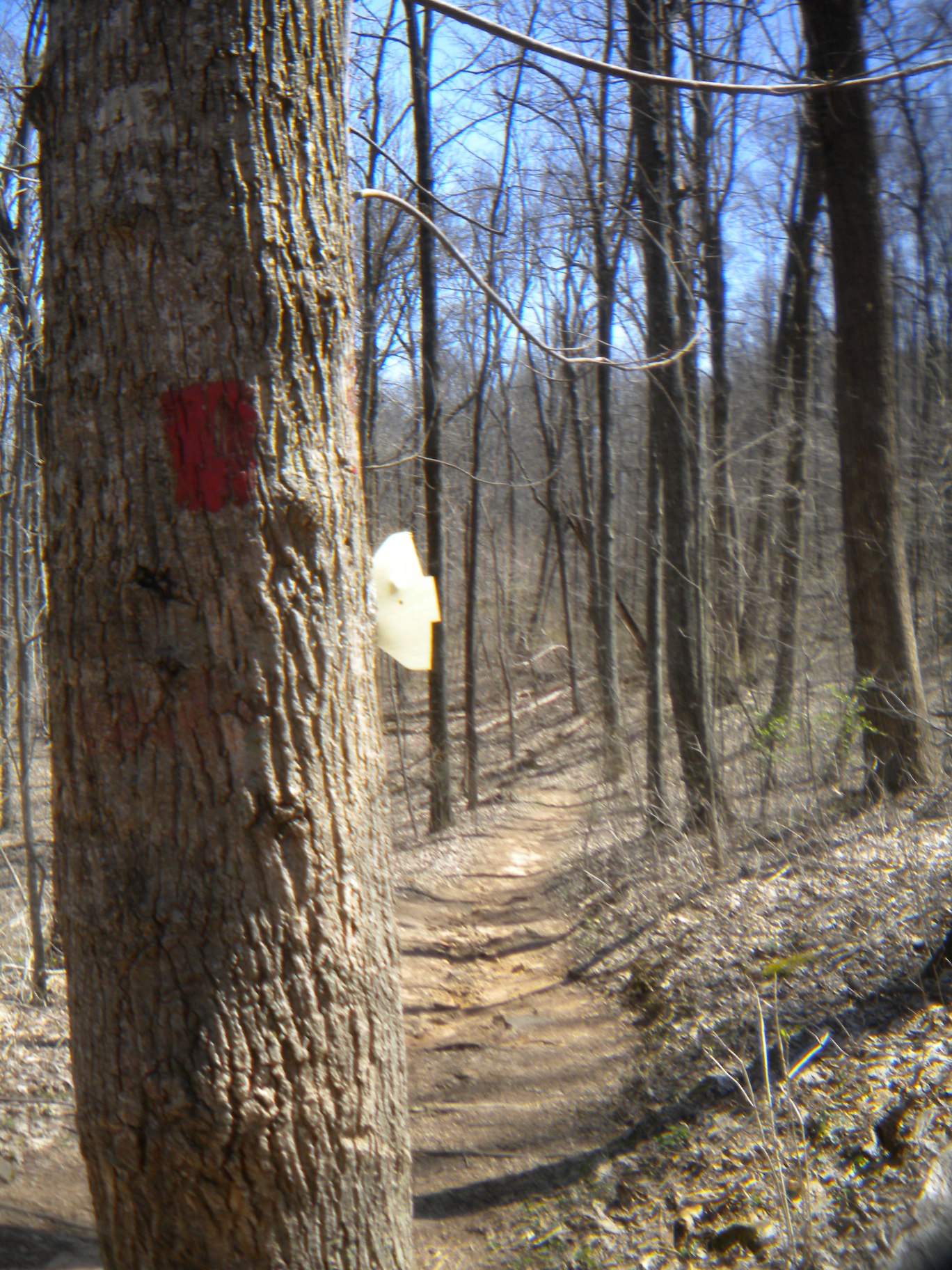
I took the Stone Cuts Bypass back towards the trailhead and ran a good bit of the way until I got back to tThe Sinks Trail where the elevation started climbing. Found three more shuttle markers I had missed on the way down. Two that were quite embedded in the new growth of the tree. So they must have been here for quite some time! A little winded occassionally on the way back up, but nothing to slow me down. In the last photo you can see the cabins built by the Corps of Engineers in the 30s. I can't wait to come back - it will take me years of trips to explore everything at this park!
| Back to my Home Page | Previous Adventure |
|---|